What is recorded here
In pasture, on gentle E-facing slope in area of outcropping limestone. Roughly rectangular depressed area (26.2m N-S; 23.6m E-W) defined by inner scarp edge (H 0.26m) ENE->SW and by dry-stone field boundary SW->ENE. Interior, covered with thistles and nettles, slopes down to the ENE. Disused quarry adjacent to E.
Compiled by: Denis Power
Date of upload: 26 August 2011
The monument record does not grant public access. Check the route and ask the landowner before entering private land.
- What survives
- Recorded monument
Places near here
 Fulacht fia in LismakeeryFulacht fia · 604 yd
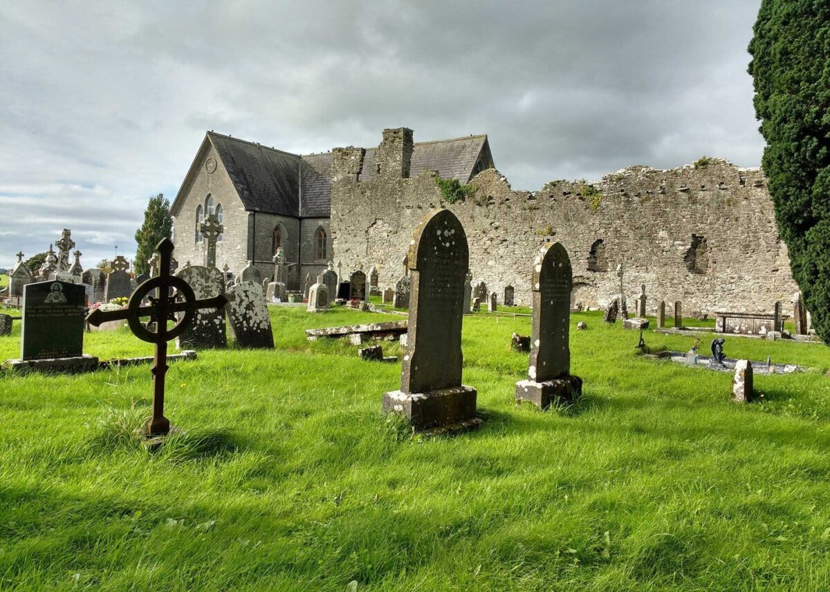 Grave YardGraveyard · 704 yd
 Lismakeery Church (in ruins)Church · 720 yd
 Lismakeery Castle (in ruins)Castle, tower house · 769 yd
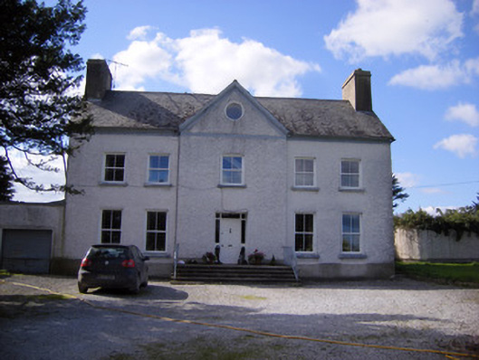 Bettyville housecountry house · 871 yd
 Milltown Castle (in ruins)Castle, tower house · 1299 yd
 Askeaton CastleHeritage attraction · 2.2 mi
 Holly IslandIslet · 3.4 mi
 TobernablahySpring · 3.6 mi
 St. Kieran's WellSpring · 3.9 mi
 Flat cemetery in CroaghFlat cemetery · 4.7 mi
 Little HeavenHeritage attraction · 5.1 mi