
What is recorded here
An irregular but broadly oval enclosure (c. 70m N-S; c. 60m E-W) defined from S to NE by a partially grassed-over wall visible on Digital Globe (2011-2013) and on OSi MapGenie orthophotography (2013-2018). Some 30m out from the perimeter is another larger partly concentric enclosure (c. 143m N-S; c. 100m E-W). An ancient wall crosses the inner enclosure roughly E-W and extends out to the W abutting the outer enclosure. The complex is overlain by several later field boundaries on the barony boundary between Burren and Inchiquin baronies.
Compiled by: Mary Tunney
Date of upload: 17 November 2025
The monument record does not grant public access. Check the route and ask the landowner before entering private land.
- What survives
- Recorded monument
Places near here
 IndicatedFairy fort / stone ringfort · 487 yd
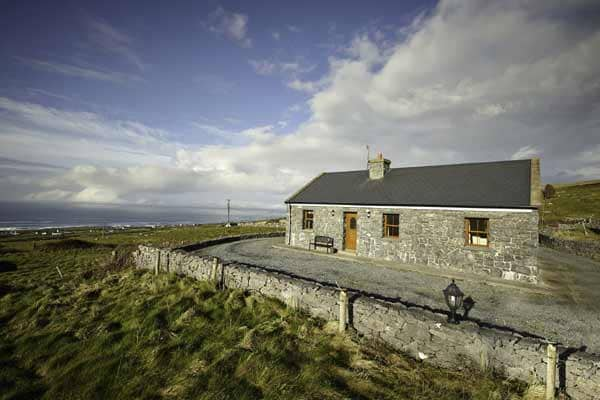 Enclosure in CaherfaddaEnclosure · 1032 yd
 Templeline (in ruins)Church · 1638 yd
 Farbrega RockNamed rock · 1.4 mi
 Fergus River CaveCave · 1.7 mi
 Saint Joseph's Catholic Churchchurch/chapel · 1.8 mi
 Castle (in ruins)Castle, tower house · 1.9 mi
 Leamaneh CastleCastle · 2.0 mi
 Inchiquin IslandIslet · 3.1 mi
 Rock IslandIsland · 3.2 mi
 CaherconnellHeritage attraction · 3.6 mi
 Poulnabrone - Burren GeositeVisitor information · 3.9 mi
Other information
Photo: Credit not shown in the picture search · Rights wording not checked; contact us if this picture should be removed