
What is recorded here
Situated in a low-lying area of rough pasture. This site (diam. c. 60m) was originally identified from aerial photography by Paddy Healy (1974, 24). There are no visible surface remains.
Compiled by Geraldine Stout
The monument record does not grant public access. Check the route and ask the landowner before entering private land.
- What survives
- Recorded monument
Places near here
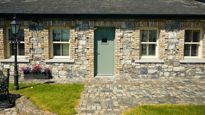 Cist in GreenogeCist · 386 yd
 St. Bridgets WellHoly well · 538 yd
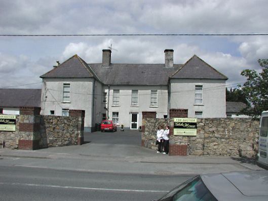 Glebe Housecharter school · 585 yd
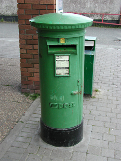 post boxpost box · 603 yd
 Inniscara GalleryGallery · 669 yd
 Meadow WildlifeVisitor information · 1178 yd
 Rathcoole WoodlandWood · 1249 yd
 CastleCastle, tower house · 1.1 mi
 Athgoe HillMountain / peak · 1.7 mi
 European YewEuropean Yew · 1.7 mi
 Colmanstown Castle (in ruins)Castle, tower house · 1.8 mi
 Saint Finian's WellSpring · 1.8 mi
Other information
Photo: Credit not shown in the picture search · Rights wording not checked; contact us if this picture should be removed