What is recorded here
Situated on a S-facing slope. The faint cropmark of a circular enclosure (int. diam. c. 25m; ext. diam. c. 50m) defined by two faint fosses is visible only on Apple Maps (2018). A circular enclosure (diam. c. 20m) defined by an equally faint feature could be attached to the outer perimeter at SE. It was first reported by Jean Charles Caillere.
See the attached enhanced view from Apple Maps
Compiled by: Michael Moore
Date of upload: 25 June 2021
The monument record does not grant public access. Check the route and ask the landowner before entering private land.
- What survives
- Recorded monument
Places near here
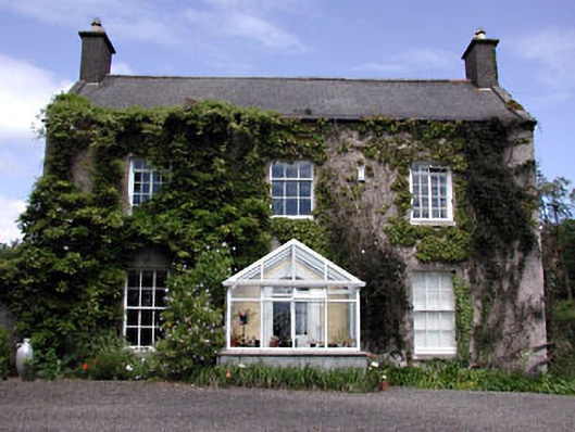 Bellewstown Housefarm house · 325 yd
 Church in Collierstown (duleek Upper By.)Church · 720 yd
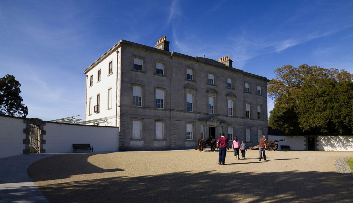 Enclosure in LegganhallEnclosure · 721 yd
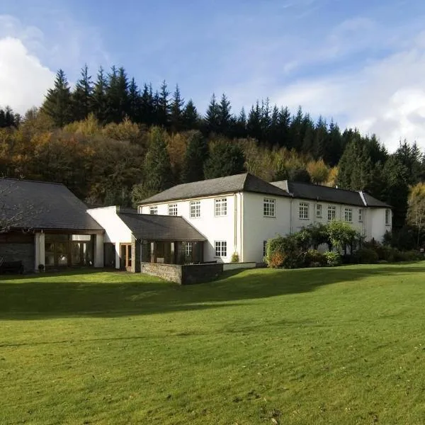 CastleCastle, ringwork · 1319 yd
 Enclosure in Milltown (duleek Upper By.)Enclosure · 1532 yd
 MoatCastle, motte · 1.7 mi
 Tullog WoodForest · 2.9 mi
 Ballshill PlantingForest · 2.9 mi
 Battle of Julianstownbattle · 3.0 mi
 Seamus Ennis Cultural CentreMemorial · 4.3 mi
 Bun-na-CnoicMemorial · 4.6 mi
 Naul HillMountain / peak · 4.9 mi