What is recorded here
Closutton is an enclosure in County Carlow, Ireland. The area has a boundary or marked outline. It still belongs to the life of the place. People may have lived, worked, worshipped or played there before the current surface was made. The exact meaning has faded, but the chance of lost human life is not nothing.
The following description is derived from the published 'Archaeological Inventory of County Carlow' (Dublin: Stationery Office, 1993). In certain instances the entries have been revised and updated in the light of recent research.
Date of upload/revision: 17 July 2007
Visible on aerial photograph (CUCAP BDR 50) as circular area enclosed by cropmarks of two concentric fosses except at W where a large circular annexe defined by cropmark of fosse is attached directly to inner fosse. Entrance causeway possibly at E. Possibly a bivallate ringfort (est max. diam. c 50m) with annexe (max. dims. c 50m N-S x 35m E-W). No visible surface traces.
The monument record does not grant public access. Check the route and ask the landowner before entering private land.
- What survives
- Recorded monument
Places near here
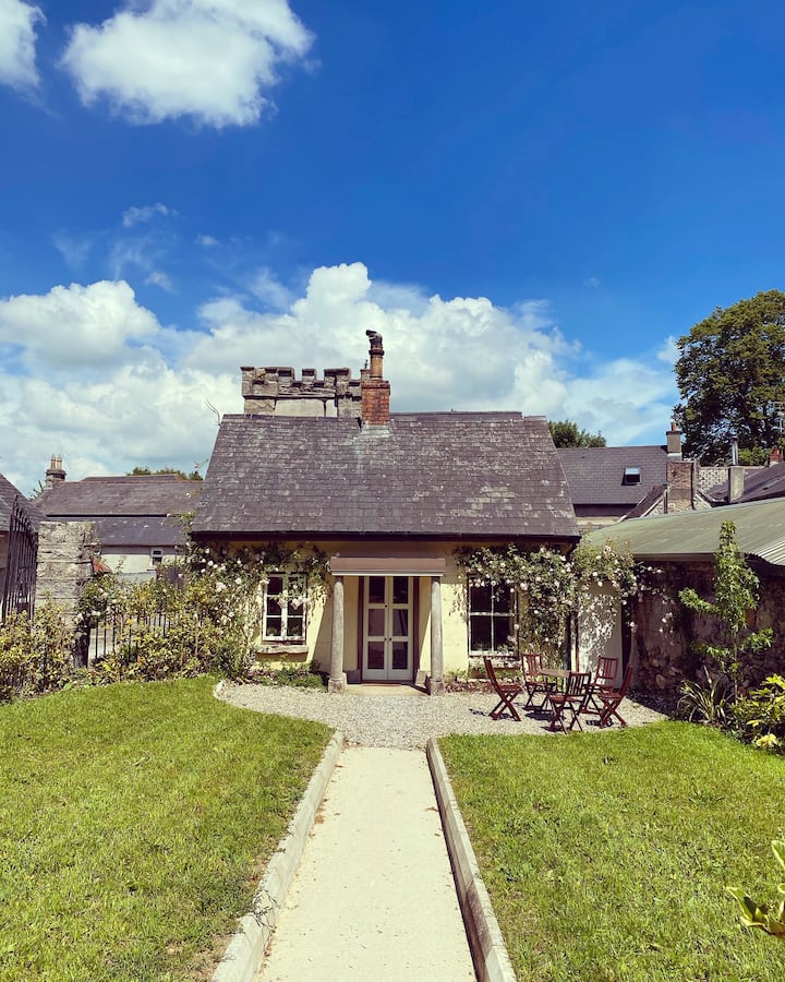 Enclosure in ClosuttonEnclosure · 122 yd
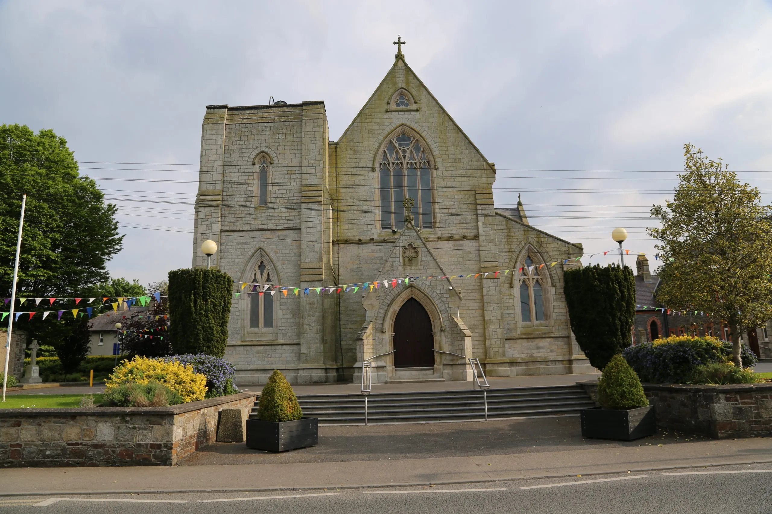 Killinane Church (in ruins)Church · 833 yd
 Clorusk MoatFairy fort / earthen ringfort · 834 yd
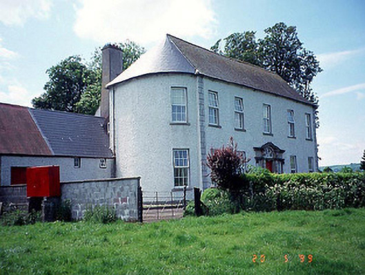 Killinane Househouse · 945 yd
 Church (in ruins), GraveyardChurch · 1.3 mi
 Lock Keeper's House and Lodge MillsVisitor information · 1.3 mi
 Church, GraveyardChurch · 1.4 mi
 Black Castle (in ruins)Castle, tower house · 1.7 mi
 The Columban WayVisitor information · 1.7 mi
 Sweet ChestnutSweet Chestnut · 2.2 mi
 Dunleckny Ho.Castle, unclassified · 2.3 mi
 The Green GardenWood · 2.4 mi