What is recorded here
Closutton is a hidden ringfort, not a distant myth. The land still holds a shallow circle where a bank once stood. A family may have lived inside that circle, raised children, and disappeared from memory. The earth kept the shape of their days long after their names faded.
The following description is derived from the published 'Archaeological Inventory of County Carlow' (Dublin: Stationery Office, 1993). In certain instances the entries have been revised and updated in the light of recent research.
Date of upload/revision: 17 July 2007
Shown on 1908 'OS 6-inch' map as circular area, enclosed by bank at N and scarp at E and S (est max. diam. c. 45m). No visible surface traces. Possibly a ringfort.
The monument record does not grant public access. Check the route and ask the landowner before entering private land.
- What survives
- Recorded monument
Places near here
 Clorusk MoatFairy fort / earthen ringfort · 851 yd
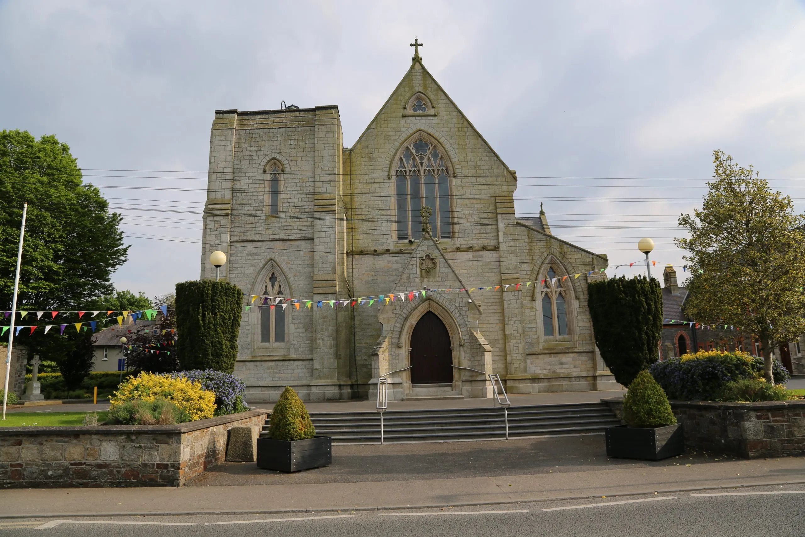 Killinane Church (in ruins)Church · 950 yd
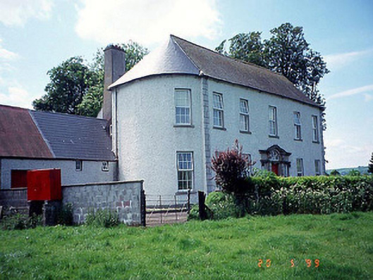 Killinane Househouse · 1063 yd
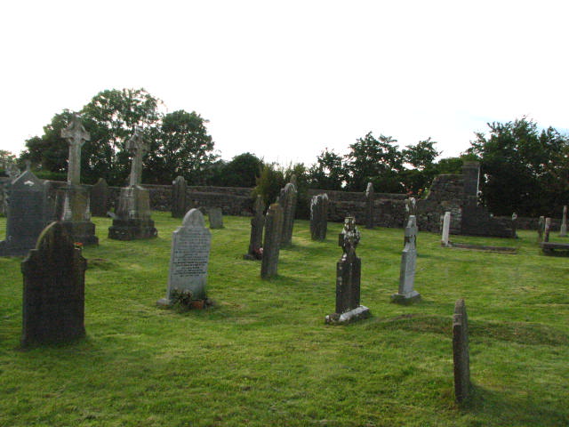 Enclosure in KillinaneEnclosure · 1499 yd
 Church (in ruins), GraveyardChurch · 1.3 mi
 Lock Keeper's House and Lodge MillsVisitor information · 1.4 mi
 Church, GraveyardChurch · 1.4 mi
 Black Castle (in ruins)Castle, tower house · 1.7 mi
 The Columban WayVisitor information · 1.8 mi
 Sweet ChestnutSweet Chestnut · 2.3 mi
 The Green GardenWood · 2.3 mi
 Dunleckny Ho.Castle, unclassified · 2.4 mi
Other information
Photo: Credit not shown in the picture search · Rights wording not checked; contact us if this picture should be removed