
What is recorded here
Marked as a rectangular field (dims. c. 30m N-S; c. 30m E-W) on the 1837 ed. of the OS 6-inch map, and as a sub-oval hachured feature (dims. c. 100m NW-SE; c.50m NE-SW) on the 1914 ed. Situated at the W end of a small E-W drumlin ridge, just off the crest of the S-facing slope. Subrectangular grass-covered area (dim. 57.5m NW-SE) defined by a fragment of an earthen bank (Wth 5.5m; int. H 0.3m; ext. H 0.9m) at NW and a low scarp (H 0.2m) SE-S, although the perimeter may be incorporated into an overgrown field bank S-NW. Grass-covered stone spreads (Wth 0.8m; H 0.1m) form the N (L 14m) and E (L 12) sides of a corral or a building (RO023-004002-) towards the perimeter at E. Earthwork (RO017-164----) is c. 200m to the NE.
Compiled by: Michael Moore
Date of upload: 24 August 2010
A local fairy fort (ringfort/rath); wider significance not recorded.
The monument record does not grant public access. Check the route and ask the landowner before entering private land.
- What survives
- Recorded monument
Places near here
 IndicatedFairy fort / earthen ringfort · 978 yd
 Church (in Ruins)Church · 1418 yd
 Tober PatrickHoly well · 1549 yd
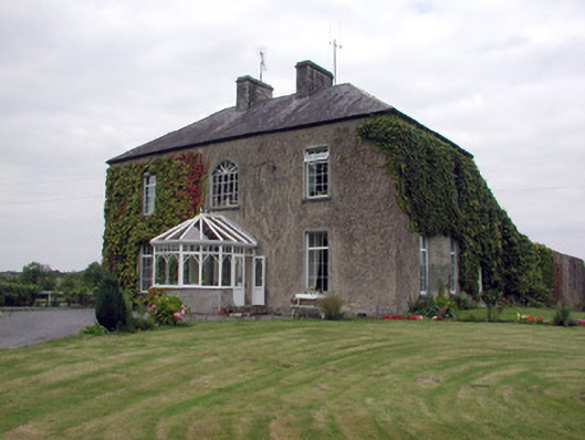 Smith Hill Housecountry house · 1.7 mi
 CastleCastle, unclassified · 2.8 mi
 Coolnahinch WoodWood · 2.9 mi
 Caslans WoodForest · 3.0 mi
 War of Independence Commemorative Military MemorialMemorial · 3.2 mi
 Strokestown House GardensHeritage attraction · 4.4 mi
 Strokestown ParkHeritage attraction · 4.5 mi
 Castle (Site of)Castle, unclassified · 4.9 mi
 Otter IslandIslet · 8.1 mi
Other information
Photo: Credit not shown in the picture search · Rights wording not checked; contact us if this picture should be removed