What is recorded here
In pasture, situated on a level ridge top. Slightly raised, rectangular area (33.5m E-W; 17.6m N-S) defined at N by a low raised rim (Wth 1.8m; int. H 0.1m; ext. H 0.25m), at E and S by a scarp (H 0.7-1m) and at W by a N-S field boundary and roadway. At E the top of the scarp incorporates some stones which may represent the remains of a kerb or wall. In the E half of the interior there is a gentle slope down from W to E. Original entrance not recognisable.
Compiled by: Jane O'Shaughnessy
Date of upload: 12 May 2011
The monument record does not grant public access. Check the route and ask the landowner before entering private land.
- What survives
- Recorded monument
Places near here
 Enclosure in CloonakeemogeEnclosure · 191 yd
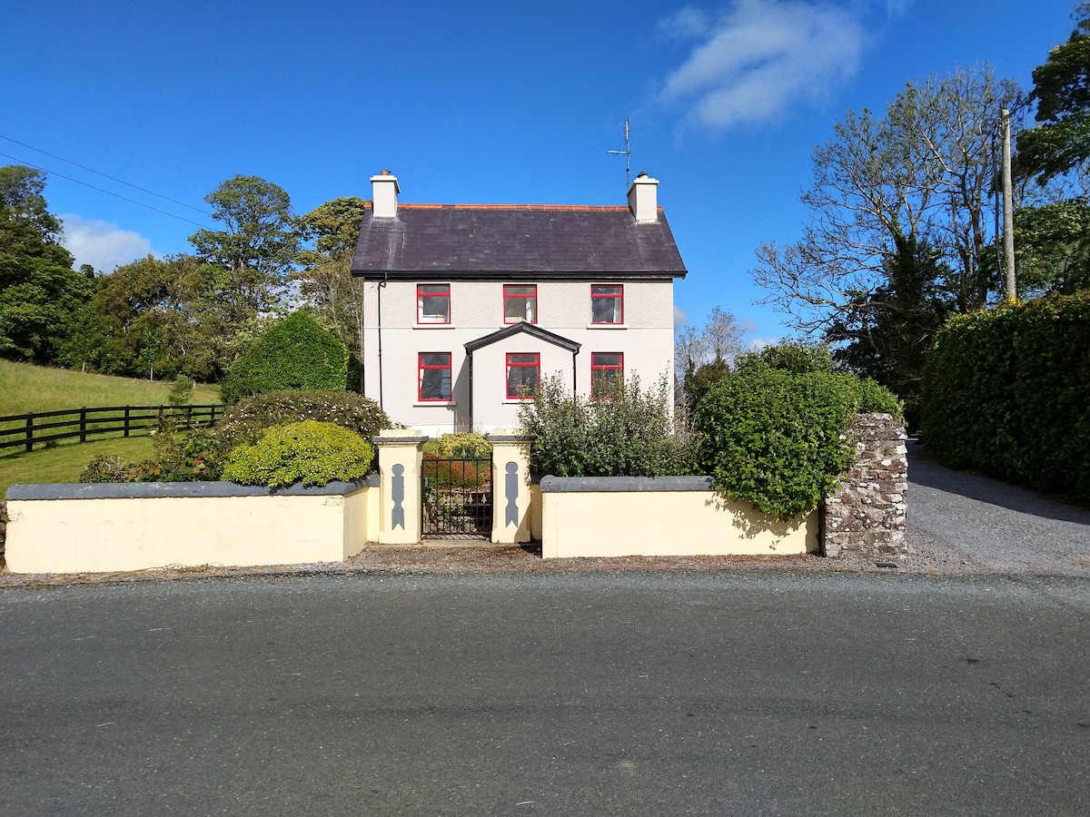 Enclosure in LisnarawerEnclosure · 459 yd
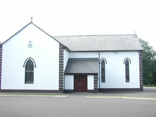 Catholic Church of Saint Peter and Saint Paulchurch/chapel · 816 yd
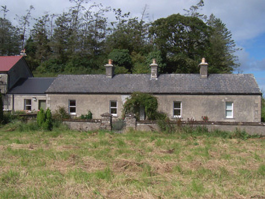 The Swallow Loftchurch/chapel · 934 yd
 Giant's GraveArchaeological place · 1380 yd
 European ashEuropean ash · 1541 yd
 Bawn in Longford DemesneBawn · 1612 yd
 Pigeonpark WoodForest · 1.1 mi
 Bawn in Tanrego WestBawn · 1.5 mi
 Lahanacappul IslandIslet · 1.6 mi
 Ballinlig PointHeadland · 1.8 mi
 Portavaud PointHeadland · 2.0 mi