What is recorded here
In rough grazing, on a hillock displaying traces of outcropping rock on a SW-facing slope. A roughly circular area (diam. 13m) is enclosed by the remains of an earthen bank (Wth 1.8m; H 0.3m) NW-NE and elsewhere by intermittent traces of the bank.
The above description is derived from 'The Archaeological Inventory of County Cork. Volume 5' (Dublin: Stationery Office, 2009).
Date of upload: 22 December 2009
The monument record does not grant public access. Check the route and ask the landowner before entering private land.
- What survives
- Recorded monument
Places near here
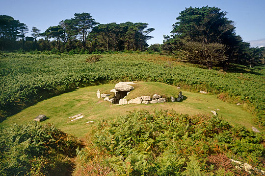 Burial ground in Cloonaghlin UpperBurial ground · 277 yd
 Bere IslandIsland · 831 yd
 Enclosure in Greenane (bear By.)Enclosure · 886 yd
 martello towermartello tower · 1117 yd
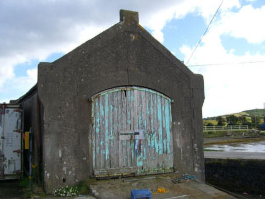 boathouseboathouse · 1.0 mi
 Turk IslandIslet · 1.3 mi
 KnockanalligMountain / peak · 1.4 mi
 Rerrin LoopWalking route · 1.8 mi
 TrawnablahaBeach / strand · 2.2 mi
 Burial ground in DerrycreeveenBurial ground · 2.6 mi
 Ardnakinna West Island LoopWalking route · 2.7 mi
 Holly HillMountain / peak · 2.9 mi