What is recorded here
Located just off the summit of a hill on a SE-facing slope. A circular embanked enclosure (ext. diam. c. 45m) is depicted faintly on the 1836 edition of the OS 6-inch map where it is described as a ‘Fort’, and a rectangular hachured feature (dims c. 65m NW-SE; c. 40m NE-SW) is depicted on the 1912 edition of the map. It was described in 1969 (SMR file) as a rectangular grass-covered area (dims 63m NNW-SSE; 39m ENE-WSW) that sloped down to the SE (H 5.3m) defined by a low, widely spread earthen bank (at NNW: Wth 5m; int. H 0.9m; ext. H 0.3m). It has rounded corners and there are some old quarries in the perimeter that is frequently reduced to a scarp (at SSE: Wth 6m; H 1.4m). There is no recognisable fosse but there is an entrance (Wth of base 3m) at E.
The above description is derived from the published 'Archaeological Inventory of County Meath' (Dublin: Stationery Office, 1987). In certain instances the entries have been revised and updated in the light of recent research.
Compiled by: Michael Moore
Date of revision: 9 August 2019
Amended: 24 March 2023
The monument record does not grant public access. Check the route and ask the landowner before entering private land.
- What survives
- Recorded monument
Places near here
 EnclosureEnclosure, large enclosure · 1.3 mi
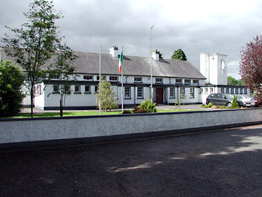 Saint Columbanus's National Schoolschool · 1.4 mi
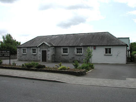 Ballivor National Schoolschool · 1.4 mi
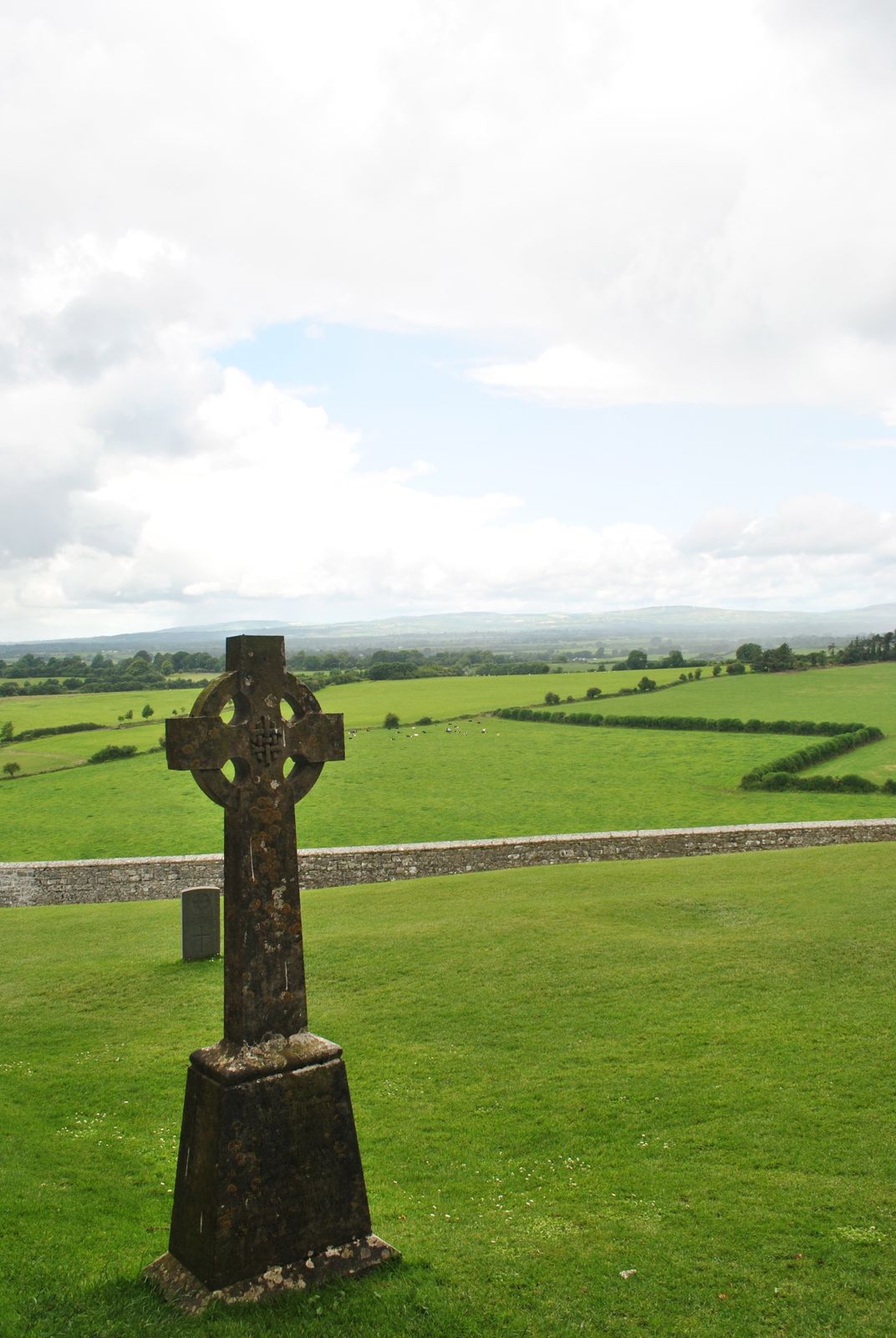 Cross in KillaconniganCross · 1.5 mi
 Donore CastleCastle · 2.3 mi
 CastleCastle, tower house · 2.3 mi
 ScregganWood · 2.8 mi
 European BeechEuropean Beech · 2.9 mi
 Croppies' GraveMemorial · 5.3 mi
 Cloncurry GraveyardHeritage attraction · 10 mi
 Old Bog Road made famous by Teresa Bryton 1868-1943Memorial · 11 mi
 The New Line RoadMemorial · 13 mi