What is recorded here
The following description is derived from the published 'Archaeological Inventory of County Carlow' (Dublin: Stationery Office, 1993). In certain instances the entries have been revised and updated in the light of recent research.
Date of upload/revision: 17 July 2007
Shown on 1839 'OS 6-inch' map as large circular enclosure (max. diam. c. 70m). Adjacent field boundaries as shown on 1908 OS 6" map have been levelled. No visible surface traces.
The monument record does not grant public access. Check the route and ask the landowner before entering private land.
- What survives
- Recorded monument
Places near here
 Ballyredmond WoodWood · 699 yd
 Clonogan WoodWood · 718 yd
 Clonogan Castle (site of)Castle, unclassified · 1024 yd
 Enclosure in ClonoganEnclosure · 1036 yd
 Saint Fiacc's Church (Moyacomb)church/chapel · 1720 yd
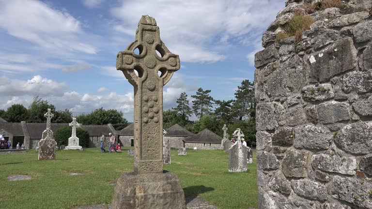 Cross in ClonegallCross · 1740 yd
 Saint Brigid's Catholic Churchchurch/chapel · 1.2 mi
 Huntington Castle & GardensHeritage attraction · 1.5 mi
 Barragh Church (in ruins), GraveyardChurch · 2.7 mi
 Gibbet HillMountain / peak · 3.2 mi
 Altamont House and GardensHeritage attraction · 3.3 mi
 Altamont Gardens MapVisitor information · 3.4 mi