
What is recorded here
Situated on a fairly level landscape. The cropmark of a rectangular enclosure (int. dims c. 45m NE-SW; c. 30m NW-SE) with rounded corners is defined by a wide fosse or moat (Wth c. 4m) separated by a berm (Wth c. 4m) from an outer fosse or drain (Wth c. 2m). It is visible only on Apple Maps, and the features are only visible in the NW half of the enclosure. The monument may be a moated site, and it was first reported by Jean Charles Caillére.
See the attached enhanced view from Apple Maps
Compiled by: Michael Moore
Date of upload: 21 February 2022
The monument record does not grant public access. Check the route and ask the landowner before entering private land.
- What survives
- Recorded monument
Places near here
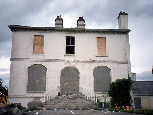 Phibblestown Househouse · 523 yd
 Church in Clonee (dunboyne By.)Church · 921 yd
 Enclosure in ParslickstownEnclosure · 1.2 mi
 Enclosure in LoughsallaghEnclosure · 1.2 mi
 Church, GraveyardChurch · 1.5 mi
 CastleCastle, ringwork · 1.8 mi
 Luttrellstown CastleCastle · 2.1 mi
 TyrrelstownWood · 2.1 mi
 GinkgoGinkgo · 2.4 mi
 Guinness' BreweryMemorial · 3.3 mi
 Griffeen Valley WalkWalking route · 4.1 mi
 Saint Wolstan'sHeritage attraction · 5.0 mi
Other information
Photo: Credit not shown in the picture search · Rights wording not checked; contact us if this picture should be removed