
What is recorded here
An aerial photograph taken in 1969 (CUCAP, AYP 55) shows a continuous circular cropmark. Test excavation (Licences no. 00E0760; no. 03E0467 was undertaken at the site which has since been artificially raised to a height of 2m on two occasions in advance of proposed development. Sufficient evidence for the presence or the absence of the enclosure was not attained by either investigation.
Compiled by: Geraldine Stout
Updated by: Christine Baker
Date of upload: 20 January 2015
The monument record does not grant public access. Check the route and ask the landowner before entering private land.
- What survives
- Recorded monument
Places near here
 IndicatedDesigned landscape, tree-ring · 1161 yd
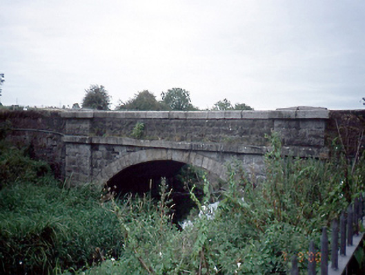 Mulhuddart Bridgebridge · 1210 yd
 Ladys WellHoly well · 1525 yd
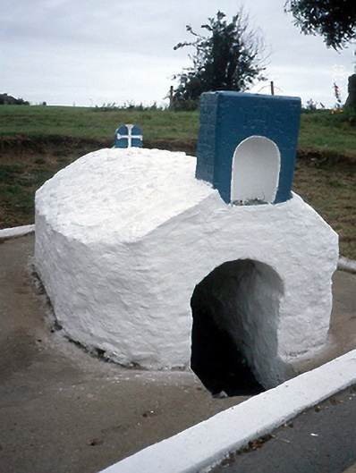 Lady's Wellholy well · 1526 yd
 Graveyard in BuzzardstownGraveyard · 1.0 mi
 TyrrelstownWood · 1.0 mi
 Blanchardstown Centre information deskVisitor information · 1.3 mi
 Church, GraveyardChurch · 1.6 mi
 Luttrellstown CastleCastle · 2.4 mi
 Giant SequoiaGiant Sequoia · 2.6 mi
 Site of CastleCastle, tower house · 3.2 mi
 Griffeen Valley WalkWalking route · 4.4 mi
Other information
Photo: Credit not shown in the picture search · Rights wording not checked; contact us if this picture should be removed