
What is recorded here
This site is marked as a tree-covered mound in the 1837 OS 6 inch map, one of a line of such mounds which bordered the northern end of Coolmine estate. It was removed during land reclamation in the late 1950s and appears as a continuous circular cropmark on Cambridge photography (CUCAP AP1 27). Excavations in advance of the Navan Road Improvement Scheme in 1989 identified an enclosure (26m diam.). It consisted of a ditch (3m w. x 1m d.) that contained post medieval delft and clay pipe and was interpreted as a tree ring.
Compiled by: Geraldine Stout
Updated by: Christine Baker
Date of upload: 19 January 2015
The monument record does not grant public access. Check the route and ask the landowner before entering private land.
- What survives
- Recorded monument
Places near here
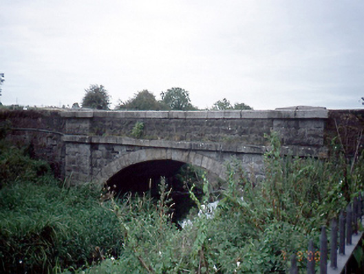 Mulhuddart Bridgebridge · 324 yd
 Enclosure in ParslickstownEnclosure · 863 yd
 Ladys WellHoly well · 1061 yd
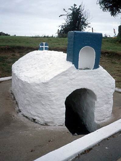 Lady's Wellholy well · 1061 yd
 Blanchardstown Centre information deskVisitor information · 1234 yd
 Graveyard in BuzzardstownGraveyard · 1372 yd
 TyrrelstownWood · 1.1 mi
 Church, GraveyardChurch · 1.5 mi
 Luttrellstown CastleCastle · 2.3 mi
 Giant SequoiaGiant Sequoia · 2.3 mi
 Castleknock CastleCastle · 2.6 mi
 Griffeen Valley WalkWalking route · 4.2 mi
Other information
Photo: Credit not shown in the picture search · Rights wording not checked; contact us if this picture should be removed