What is recorded here
In pasture, on SE-facing slope below brow of hillock. Sub-rectangular area (57m N-S; 46m E-W) enclosed by earthen bank W->NE and by scarp edge NE->W. Bank (int. H 0.6m; ext. H 0.85m), best preserved W->N, forms angular corner jutting into interior NNE->NE before running down-slope to E. Scarp edge (ext, H 0.85m), very difficult to differentiate from natural terrain gradient along E side, best preserved S->W. Uneven interior, slopes down sharply to S before rising up into NE quadrant. According to landowner, interior, now under pasture, was known as a sand pit and may have been quarried out. NE quadrant and E side heavily masked by vegetation cover.
Compiled by: Denis Power
Date of upload: 26 August 2011
The monument record does not grant public access. Check the route and ask the landowner before entering private land.
- What survives
- Recorded monument
Places near here
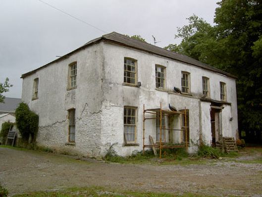 Hardingville Housecountry house · 641 yd
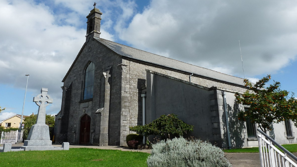 Cloncrew Church (in ruins)Church · 928 yd
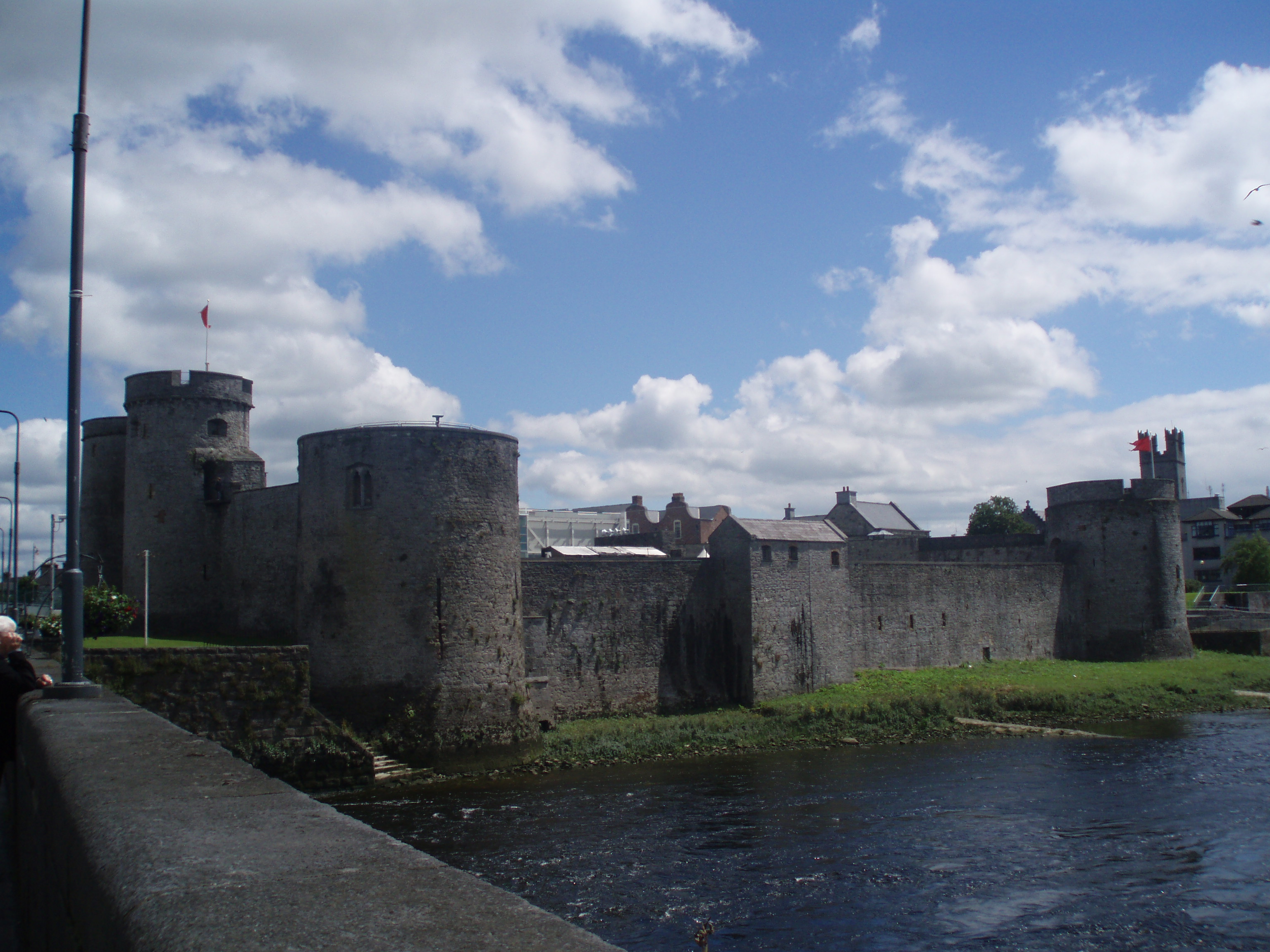 Cloncrew Fort - HachuredFairy fort / earthen ringfort · 956 yd
 Concentric enclosure in DoonyConcentric enclosure · 1328 yd
 Castle (in Ruins)Castle, Anglo-Norman masonry castle · 1.2 mi
 ToberacappeenSpring · 1.4 mi
 CastleCastle, unclassified · 1.5 mi
 National Co-op MuseumMuseum · 1.8 mi
 ToberhoranSpring · 3.4 mi
 Battle of LiscarrollMajor battlefield · 6.7 mi
 Mullaghareirk - Banane LoopWalking route · 8.2 mi
 Ballagh MountainMountain / peak · 9.0 mi