What is recorded here
On a very gentle S-facing slope overlooking river gully immediately S. Enclosure identified as circular cropmark on aerial photograph (ASIAP (37) 0-3, 3.8.96). Fosse is clearly visible with a probable entrance in the SE quadrant. The field has since been incorporated in the Slievenamon Golf Club and the area immediately around the enclosure has been modified to provide tee-offs and greens. However a roughly circular raised area (diam. c. 27m NW-SE) is apparent, enclosed by a depression, which is probably the remains of the enclosure. The landowner remembers being told that there was a 'fort' in this area and that the person who had levelled it died soon after.
Compiled by: Jean Farrelly
Date of upload: 26 August 2011
The monument record does not grant public access. Check the route and ask the landowner before entering private land.
- What survives
- Recorded monument
Places near here
 Enclosure in ClonacodyEnclosure · 73 yd
 CastleCastle, motte · 481 yd
 Catholic Church of Saint John the Baptistchurch/chapel · 683 yd
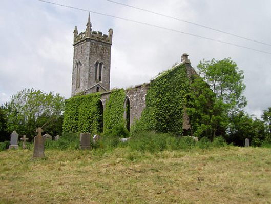 Lisronagh Churchchurch/chapel · 877 yd
 Castle (in ruins)Castle, tower house · 916 yd
 Enclosure in BaptistgrangeEnclosure · 1014 yd
 Persian WalnutPersian Walnut · 1.5 mi
 Grove WoodForest · 2.1 mi
 East GateMemorial · 3.0 mi
 Kilknockan HillMountain / peak · 4.2 mi
 Charles BianconiMemorial · 4.8 mi
 Main GuardHeritage attraction · 4.8 mi