
What is recorded here
In a valley, on the E bank of a stream, which is joined by another stream running roughly E-W c. 40m to the S. A road runs NW-SE immediately outside the N-NE sector. Indicated as a circular enclosure on the 1st (1839) ed. OS 6-inch map and the 1948-9 revision, and named, ‘Skeaghnaraha’. It appears oval on the 25-inch OS map (overall dims. c. 43m N-S; c. 37m E-W), defined by a wide bank (Wth c. 10). On satellite imagery (OSi imagery date 2013 to 2018) it is visible with trees growing around the perimeter.
Compiled by: Jean Farrelly
The monument record does not grant public access. Check the route and ask the landowner before entering private land.
- What survives
- Recorded monument
Places near here
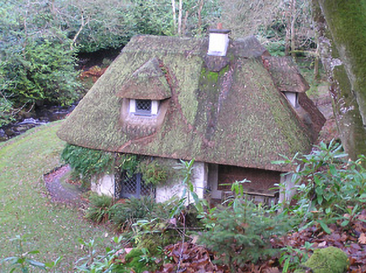 Kilfane Housecottage ornee · 806 yd
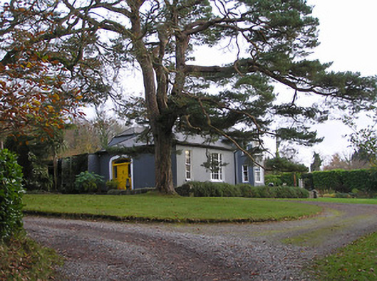 Kilfane Cottageworker's house · 884 yd
 Fox CovertForest · 909 yd
 Fennellys WoodForest · 1035 yd
 CastleCastle, tower house · 1262 yd
 Enclosure in ComEnclosure · 1638 yd
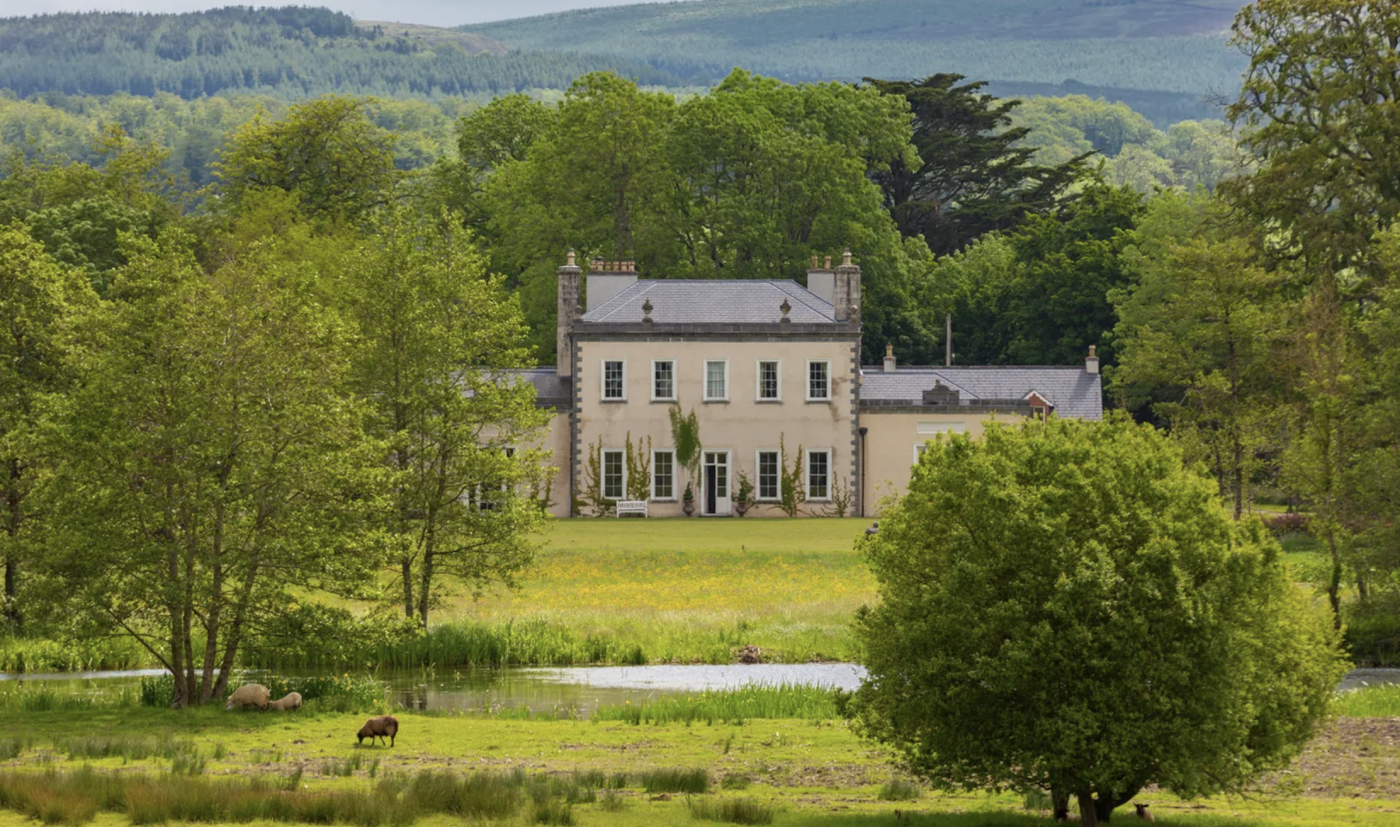 Enclosure in Kilmurry (gowran By., Thomastown Ed)Enclosure · 1.0 mi
 TowerCastle, tower house · 1.6 mi
 Stroan FountainVisitor information · 1.9 mi
 Saddle HillMountain / peak · 2.2 mi
 Tullaherin Church and Round TowerVisitor information · 2.9 mi
 Kilbline GraveyardArchaeological place · 3.5 mi
Other information
Photo: Credit not shown in the picture search · Rights wording not checked; contact us if this picture should be removed