What is recorded here
A rectangular enclosure (dims. c. 24m N-S; c. 30m E-W) identified as a cropmark on Google Earth Pro imagery (imagery date 14 July 2018) by Jean-Charles Caillère. There is a similar enclosure (CW007-170----) c. 60m to the N.
See attached image:
CW007-170----_01 Google Earth Pro imagery
Compiled by: Jean Farrelly
Date of upload: 3 September 2019
The monument record does not grant public access. Check the route and ask the landowner before entering private land.
- What survives
- Recorded monument
Places near here
 Enclosure in CloghnaEnclosure · 112 yd
 Enclosure in BallybannonEnclosure · 547 yd
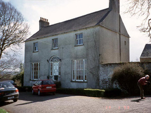 Saint John's Church (Cloydagh)rectory/glebe/vicarage/curate's house · 1.4 mi
 Graveyard in ClonmelshGraveyard · 1.4 mi
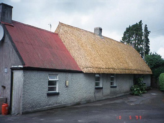 farm housefarm house · 1.5 mi
 Clogrenan CastleCastle, tower house · 1.6 mi
 Pedunculate OakPedunculate Oak · 2.6 mi
 CastleCastle, Anglo-Norman masonry castle · 2.7 mi
 Carlow CastleRuined medieval castle · 2.7 mi
 Carlow County MuseumMuseum · 2.7 mi
 Graveyard in Tomard Lower (3 Detached Portions)Graveyard · 2.8 mi
 White willowWhite willow · 3.6 mi