What is recorded here
Conjoined pair of circular enclosures (CO019-181----, CO019-181001-) with an E-W diameter of c. 75m visible on lidar imagery (https://dcenr.maps.arcgis.com). Information supplied by Colm Chambers.
Compiled by: Matt Kelleher
Date of upload: 8 May 2018
The monument record does not grant public access. Check the route and ask the landowner before entering private land.
- What survives
- Recorded monument
Places near here
 IndicatedKiln, lime · 433 yd
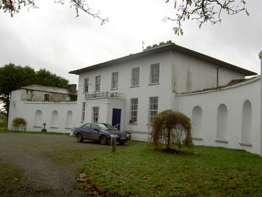 Killee Housecountry house · 434 yd
 Grave YardGraveyard · 580 yd
 Carriganoura Castle (in Ruins)Castle, tower house · 966 yd
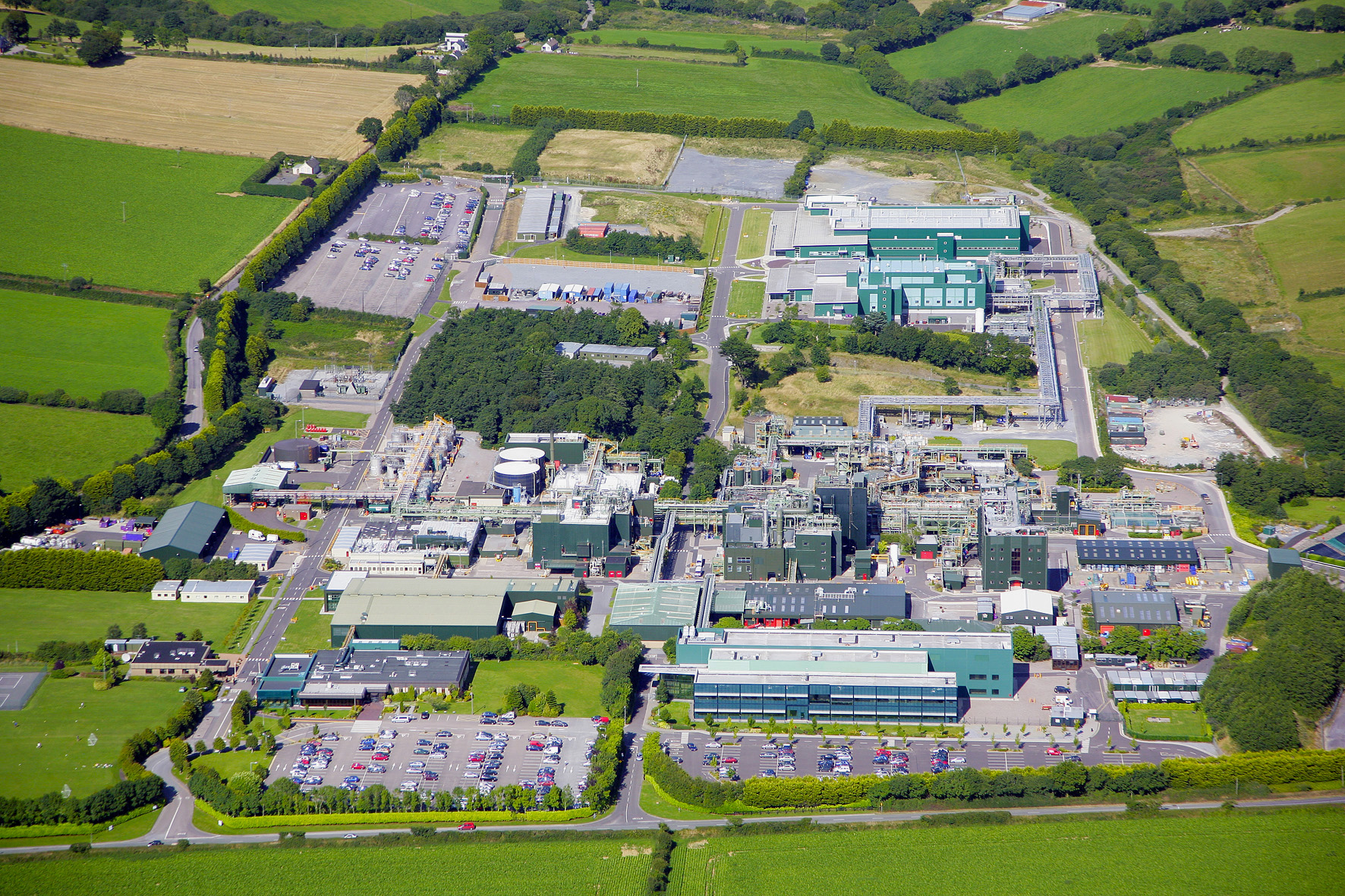 Fulacht fia in Cloghleafin (condons and Clongibbon By., Marshalstown Par.)Fulacht fia · 1.3 mi
 CastleCastle, unclassified · 1.7 mi
 Mitchelstown Town MapVisitor information · 2.7 mi
 John MandevilleMemorial · 2.7 mi
 Kilclooney WoodWood · 2.8 mi
 Flat cemetery in Ballyenahan NorthFlat cemetery · 3.7 mi
 FlagCave · 3.8 mi
 CarrigeenamronetyMountain / peak · 5.0 mi