What is recorded here
Enclosure in Cloghermore stands on a limestone reef in County Kerry, joining a cave and cairn in one ancient cluster. Its western wall has vanished under soil and field work, yet the eastern curve still bends through the land like a forgotten ribbon. The reef may have given the place life, name and shape, while the enclosure remained a boundary someone drew around what mattered.
The sites comprising this monument group are located on and under a large limestone reef from which the townland takes its name. The sites include a cave (KE030-068----), two enclosures and a cairn (KE030-102----). The Cave at Cloghermore was excavated over two seasons between 1999-2000 under license number 99E0431. An enclosure (LVS030 1901) is located on the western end of the reef. The western side of the enclosure has been levelled, while the eastern side is reflected in a curving field boundary. The western side of the enclosure can bee seen as a cropmark on aerial photography. The curved field boundary indicates that the enclosure was 41m in diameter.
Above description is from 'Tralee Area Monument Catalogue' part of a PhD thesis submitted by Michael Connolly to UCC.
The monument record does not grant public access. Check the route and ask the landowner before entering private land.
- What survives
- Recorded monument
Places near here
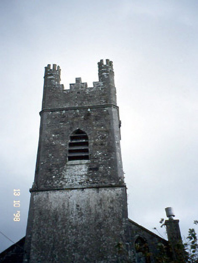 Ballymacelligott Churchchurch/chapel · 806 yd
 Field system in BallymacthomasField system · 916 yd
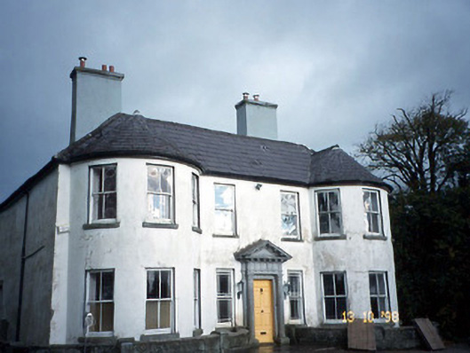 Arabela Househouse · 964 yd
 Site of McElligotts CastleCastle, unclassified · 990 yd
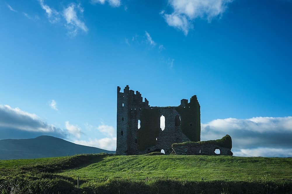 Enclosure in BallyfinogeEnclosure · 1031 yd
 PoulatouirtCave · 1716 yd
 Bealagrellagh CastleCastle · 1.0 mi
 Poulclashcannon (blocked)Cave · 1.1 mi
 Common AlderCommon Alder · 1.5 mi
 Monument WoodWood · 2.0 mi
 Civil War MemorialMemorial · 3.8 mi
 CruslineMountain / peak · 3.9 mi