What is recorded here
Enclosure in Cloghermore is a limestone reef in County Kerry holding a cave, two enclosures and a cairn. The cave was excavated in 1999 and 2000, while curving banks still rise beside the entrance. People may have lived under that stone, marking the reef and returning through seasons because the place gave shape to memory.
The sites comprising this monument group are located on and under a large limestone reef from which the townland takes its name. The sites include a cave (KE030-068----), two enclosures (KE030-101----) and a cairn (KE030-102----). The Cave at Cloghermore was excavated over two seasons between 1999-2000 under license number 99E0431. A number of curving banks (LVS030 1903), on average 0.55m high are visible on the southern side of the reef, to the north-west of the enclosure (KE030-069-----) containing the cave entrance. The banks are associated with a shallow depression and may indicate the presence of another archaeological feature.
Above description is from 'Tralee Area Monument Catalogue' part of a PhD thesis submitted by Michael Connolly to UCC.
The monument record does not grant public access. Check the route and ask the landowner before entering private land.
- What survives
- Recorded monument
Places near here
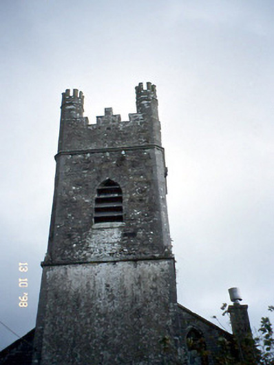 Ballymacelligott Churchchurch/chapel · 739 yd
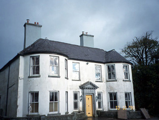 Arabela Househouse · 871 yd
 Site of McElligotts CastleCastle, unclassified · 885 yd
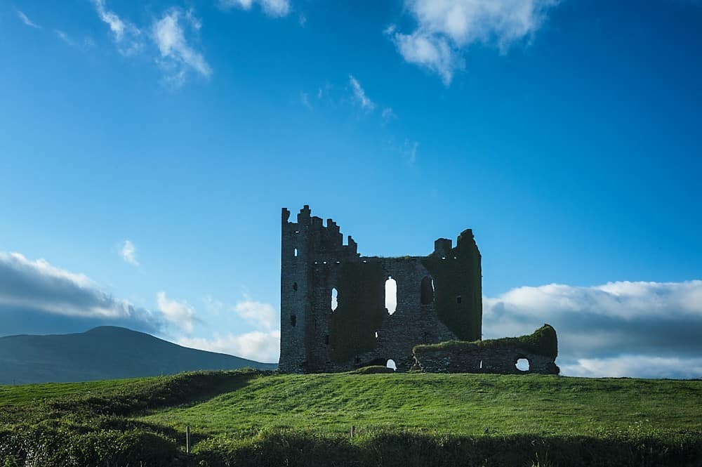 Enclosure in BallyfinogeEnclosure · 1001 yd
 Field system in BallymacthomasField system · 1057 yd
 PoulatouirtCave · 1.0 mi
 Bealagrellagh CastleCastle · 1.1 mi
 Poulclashcannon (blocked)Cave · 1.1 mi
 Common AlderCommon Alder · 1.6 mi
 CruslineMountain / peak · 3.9 mi
 Civil War MemorialMemorial · 3.9 mi
 Crimea Cannon and War MemorialMonument · 4.4 mi