What is recorded here
On reclaimed grassland with unclassified barrow (LI023-100----) immediately to NNE. Outline of circular shaped area (approx. diam. 34m) defined by a fosse visible on OSi orthophoto taken 2005-12.
Compiled by: Alison McQueen and Vera Rahilly
Date of upload: 31 August 2020
The monument record does not grant public access. Check the route and ask the landowner before entering private land.
- What survives
- Recorded monument
Places near here
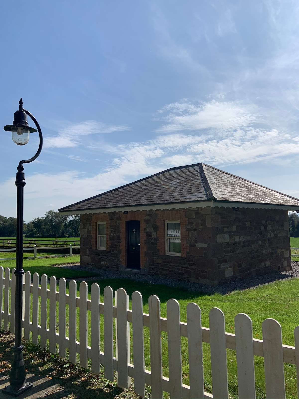 Hut site in GalboolaHut site · 1140 yd
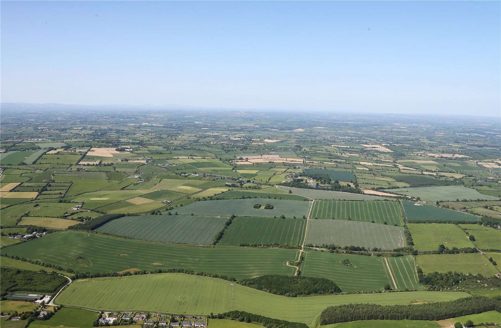 Earthwork in BallinardEarthwork · 1171 yd
 Castle (in ruins)Castle, unclassified · 1347 yd
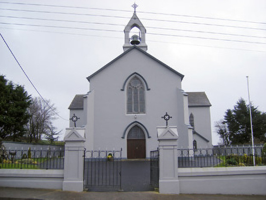 Catholic Church of the Sacred Heartchurch/chapel · 1.1 mi
 Cloughansoun Bridgebridge · 1.3 mi
 Black Castle (Site of)Castle, unclassified · 1.9 mi
 St. Patrick's WellSpring · 2.2 mi
 Kilteely HillMountain / peak · 2.3 mi
 KnockseefinMountain / peak · 4.2 mi
 Flat cemetery in Knockainy WestFlat cemetery · 4.2 mi
 St Patrick's WellSpring · 7.4 mi
 Ballinvreena LoopVisitor information · 9.9 mi