What is recorded here
In wet, low-lying pasture, which is cut by land drains and watercourses. Enclosure (LI023-099001-) lies 100m to SE and ring-barrows (LI023-099003-/004-/002-) lie 110m to ESE, 130m to N and 150m to SE, respectively. Not depicted on OSi historic maps. This monument is an additional part of an earthwork complex described by O’Kelly as following: 'A complex of 2 earthworks of Type A and 3 ring-barrows (O’ Kelly 1943, 172). Monument identified as an earthwork by the Bruff aerial photographic survey in 1986 (Bruff AP 130.1). Monument is visible as a very faint, roughly oval-shaped cropmark on Digital Globe orthophotos taken 2011-13 and on Google Earth orthoimages taken 25/05/2017.
See attached Bruff aerial survey image labelled Bruff 130.1 and Google Earth orthoimage 25/05/2017.
Compiled by: Alison McQueen and Vera Rahilly
Date of upload: 31 August 2020
The monument record does not grant public access. Check the route and ask the landowner before entering private land.
- What survives
- Recorded monument
Places near here
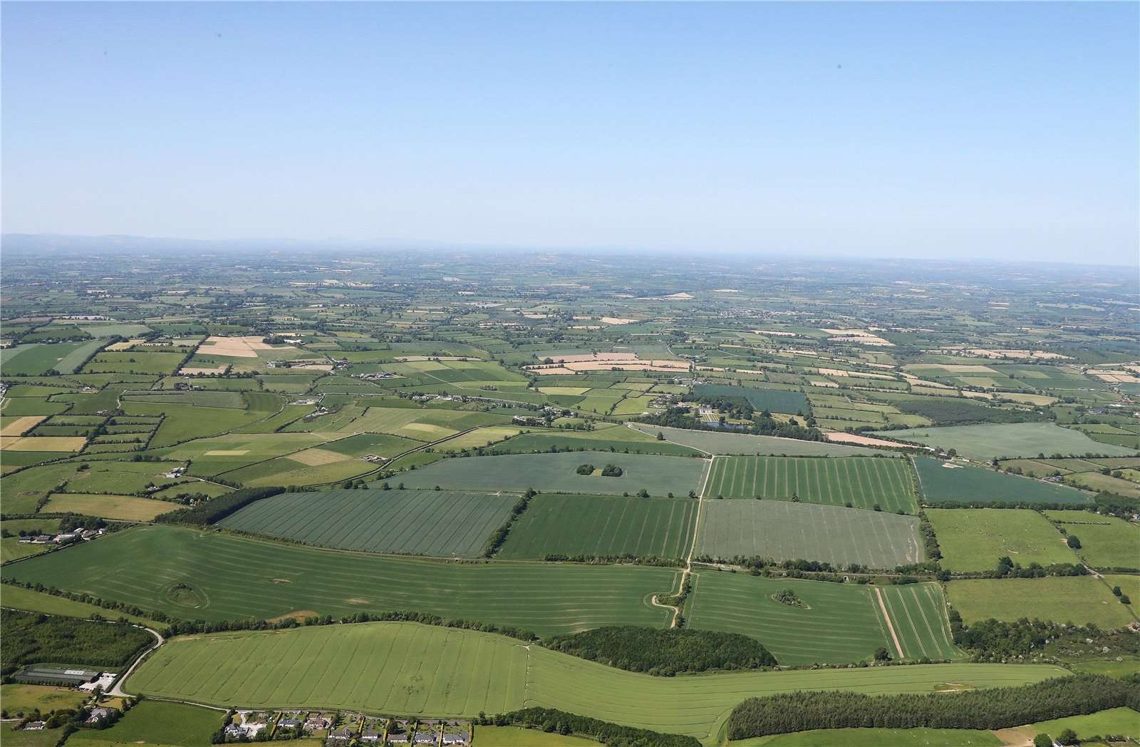 Earthwork in BallinardEarthwork · 1076 yd
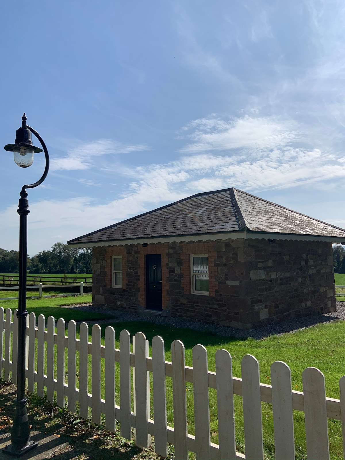 Hut site in GalboolaHut site · 1236 yd
 Castle (in ruins)Castle, unclassified · 1252 yd
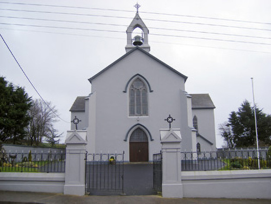 Catholic Church of the Sacred Heartchurch/chapel · 1.1 mi
 Cloughansoun Bridgebridge · 1.3 mi
 Black Castle (Site of)Castle, unclassified · 1.8 mi
 St. Patrick's WellSpring · 2.3 mi
 Kilteely HillMountain / peak · 2.3 mi
 Flat cemetery in Knockainy WestFlat cemetery · 4.2 mi
 KnockseefinMountain / peak · 4.2 mi
 St Patrick's WellSpring · 7.4 mi
 Ballinvreena LoopVisitor information · 9.8 mi