What is recorded here
On S-facing slope of a slight rise. A large subcircular enclosure (NE-SW 68m) defined by a grassed-over rubble line to which a good deal of recent field clearance has been added. Traces of the original revetment are visible at NW. The original entrance was probably at E where the enclosing wall curves sharply inwards. In SE quadrant, low foundations, rectangular in plan (NW-SE; L 20.4m, Wth 13.7m ext.), may be the remains of a house with an internal division. Immediately to S of the entrance, a rectangular annexe (NE-SW; L 15m, Wth 6.5m ext.) abuts the outer wall-face of the enclosure and both may be contemporary. Several low grassed-over stone walls indicate internal divisions.
The above description is derived from the published 'Archaeological Inventory of County Galway Vol. II - North Galway'. Compiled by Olive Alcock, Kathy de hÓra and Paul Gosling (Dublin: Stationery Office, 1999).
Date of upload: 05 August 2010
The monument record does not grant public access. Check the route and ask the landowner before entering private land.
- What survives
- Recorded monument
Places near here
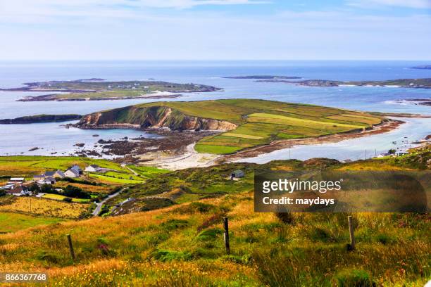 IndicatedEnclosure · 716 yd
 Church in ruinsChurch · 884 yd
 Field system in CarheenshowaghField system · 1294 yd
 Castle (in ruins)Castle, tower house · 1522 yd
 Nunnery (in ruins)Religious house, unclassified · 1.2 mi
 Corrofin CastleCastle · 1.7 mi
 KnockmaaWood · 3.4 mi
 Mass RockNamed rock · 5.3 mi
 Cregg Castle DemesneForest · 5.7 mi
 Kilcoona Round TowerHeritage attraction · 5.8 mi
 Oileán an AoilIsland · 9.4 mi
 Walsh's IslandIslet · 9.4 mi