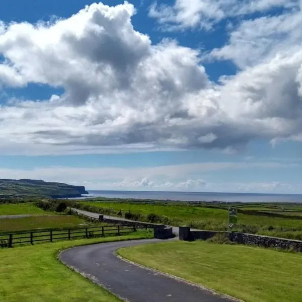
What is recorded here
In improved, lush pasture, on a NW-facing slope. Reported to the Archaeological Survey of Ireland as the low remains of a small enclosure (one of three). Low profile circular area (diam. c. 8m) defined by scarp (Wth 1.25m; H 0.1m) NW->E->SW. Scarp (Wth 2.5m; H 0.2m) is less defined on the downslope to N. The monument is traceable in this area as a very low rise which is truncated to W by a field boundary (long axis NW-SE) and tertiary road. The remains of a levelled field boundary (long axis ENE-WSW) are to E; This corresponds to boundary depicted upon OS historic mapping.
Compiled by: Alison McQueen and Vera Rahilly
Date of upload: 12 January 2016
The monument record does not grant public access. Check the route and ask the landowner before entering private land.
- What survives
- Recorded monument
Places near here
 Church in Glebe (magunihy By., Kilcummin Ed)Church · 143 yd
 CaveMan-made underground passage · 226 yd
 Enclosure in Glebe (magunihy By., Kilcummin Ed)Enclosure · 265 yd
 KilnKiln, lime · 1370 yd
 Famine MemorialMemorial · 3.2 mi
 GinkgoGinkgo · 3.4 mi
 Kerry 2nd Brigade of the Irish Republican ArmyMemorial · 3.5 mi
 Aghadoe Early Medieval Ecclesiastical SiteHeritage attraction · 3.5 mi
 Parkavonear CastleCastle · 3.6 mi
 Giant SequoiaGiant Sequoia · 3.7 mi
 Jaunting ToursHeritage attraction · 3.8 mi
 Circular WalkWalking route · 3.8 mi
Other information
Photo: Credit not shown in the picture search · Rights wording not checked; contact us if this picture should be removed