What is recorded here
Enclosure in Clashykinleen West was a levelled single-ramparted fort about twenty-three yards across, occupying the south-facing slope of an east-west ridge in County Cork before it disappeared under the plough in 1985. Local memory preserves a stony ring around the site, suggesting the rampart resisted erasure even after the hilltop itself was flattened. Whatever life moved inside that circle has vanished with the soil, leaving only the shape of its absence marked in pasture and recollection.
In pasture, on S-facing slope of E-W ridge. Bowman (1934, 449) describes fort in D. Murphy's as, 'levelled, single-ramparted. Diam. c. 23 yards. This was on a hill-top'. According to local information, site known as 'fort' levelled off, in 1985, was very stony in make up with a 'ring around it'.
The above description is derived from the published 'Archaeological Inventory of County Cork. Volume 4: North Cork' (Dublin: Stationery Office, 2000). In certain instances the entries have been revised and updated in the light of recent research.
Date of upload/revision: 14 January 2009
The monument record does not grant public access. Check the route and ask the landowner before entering private land.
- What survives
- Recorded monument
Places near here
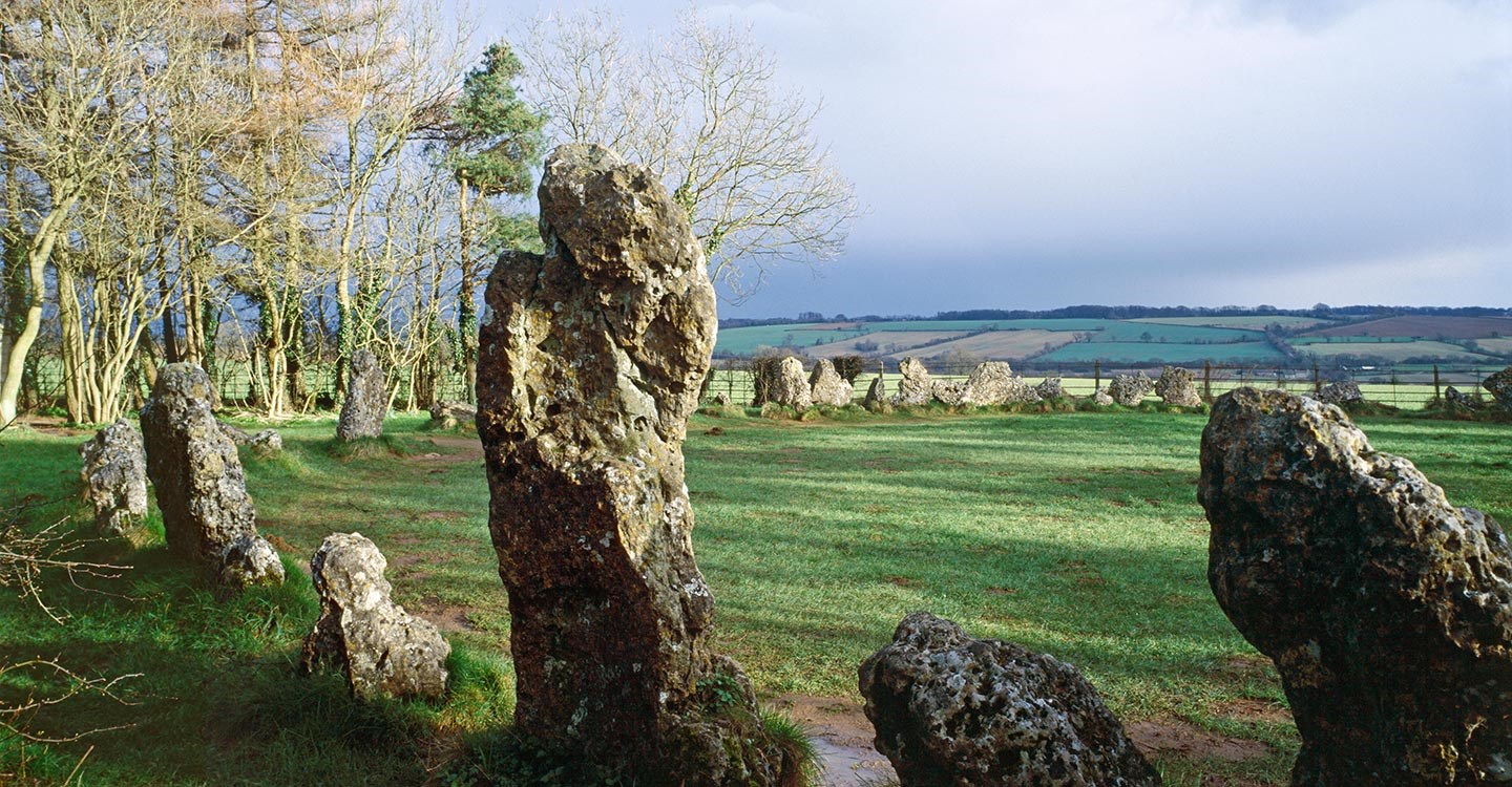 BarrowBarrow, ring-barrow · 1.3 mi
 Church of the Holy Spiritchurch/chapel · 1.4 mi
 Fulacht fia in FoilogohigFulacht fia · 1.5 mi
 IndicatedKiln, lime · 1.5 mi
 TaurMountain / peak · 2.0 mi
 KnockacummerMountain / peak · 4.4 mi
 Castle McAuliffe (Site of)Castle, unclassified · 5.6 mi
 CastleCastle, unclassified · 6.3 mi
 Three CountiesPicnic place · 6.6 mi
 Mullaghareirk - Banane LoopWalking route · 7.9 mi
 Nohaval WoodWood · 8.3 mi
 Barna BogForest · 8.5 mi