What is recorded here
On a SSE-facing slope in farmland. Marked on 3rd ed. of OS 6-inch map (1934) as a roughly circular enclosure (D c. 38m). All that survives are faint traces of a bank from E through So to W. A house (GA070-073001-) lies c. 100m to N.
The above description is derived from the published 'Archaeological Inventory of County Galway Vol. II - North Galway'. Compiled by Olive Alcock, Kathy de hÓra and Paul Gosling (Dublin: Stationery Office, 1999).
Date of upload: 05 August 2010
The monument record does not grant public access. Check the route and ask the landowner before entering private land.
- What survives
- Recorded monument
Places near here
 Caisleán Chill TorrógArchaeological place · 1196 yd
 Kiltroge Castle (in ruins)Castle, tower house · 1198 yd
 Enclosure in Baile ChláirEnclosure · 1435 yd
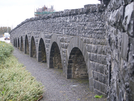 bridgebridge · 1468 yd
 Bawn in Baile ChláirBawn · 1483 yd
 RoadRoad, road/trackway · 1501 yd
 European BeechEuropean Beech · 1.9 mi
 Cregg Castle DemesneForest · 3.5 mi
 Cooper's CaveCave · 5.4 mi
 Royal Tara Visitor CentreHeritage attraction · 5.6 mi
 Ballyloughane BeachBeach / strand · 6.4 mi
 Siege of Galwaysiege · 6.8 mi