What is recorded here
On a grass-covered sea stack which according to local information was originally attached to the mainland c. 10m to S sometime around the 1830s. There is heavy erosion on the E side of the stack due to sea action. Depicted on the 2nd ed. OS 6-inch map (1914) as a circular area (diam. c 20m) defined by a scarped edge. No visible surface trace of the enclosure was evident when visited in 2000.
Compiled by: Matt Kelleher
Date of upload: 19 November 2013
The monument record does not grant public access. Check the route and ask the landowner before entering private land.
- What survives
- Recorded monument
Places near here
 Castle Shannon (in ruins)Castle, unclassified · 292 yd
 Inshaboy PointHeadland · 1112 yd
 Site of Ballingarry CastleCastle, unclassified · 1292 yd
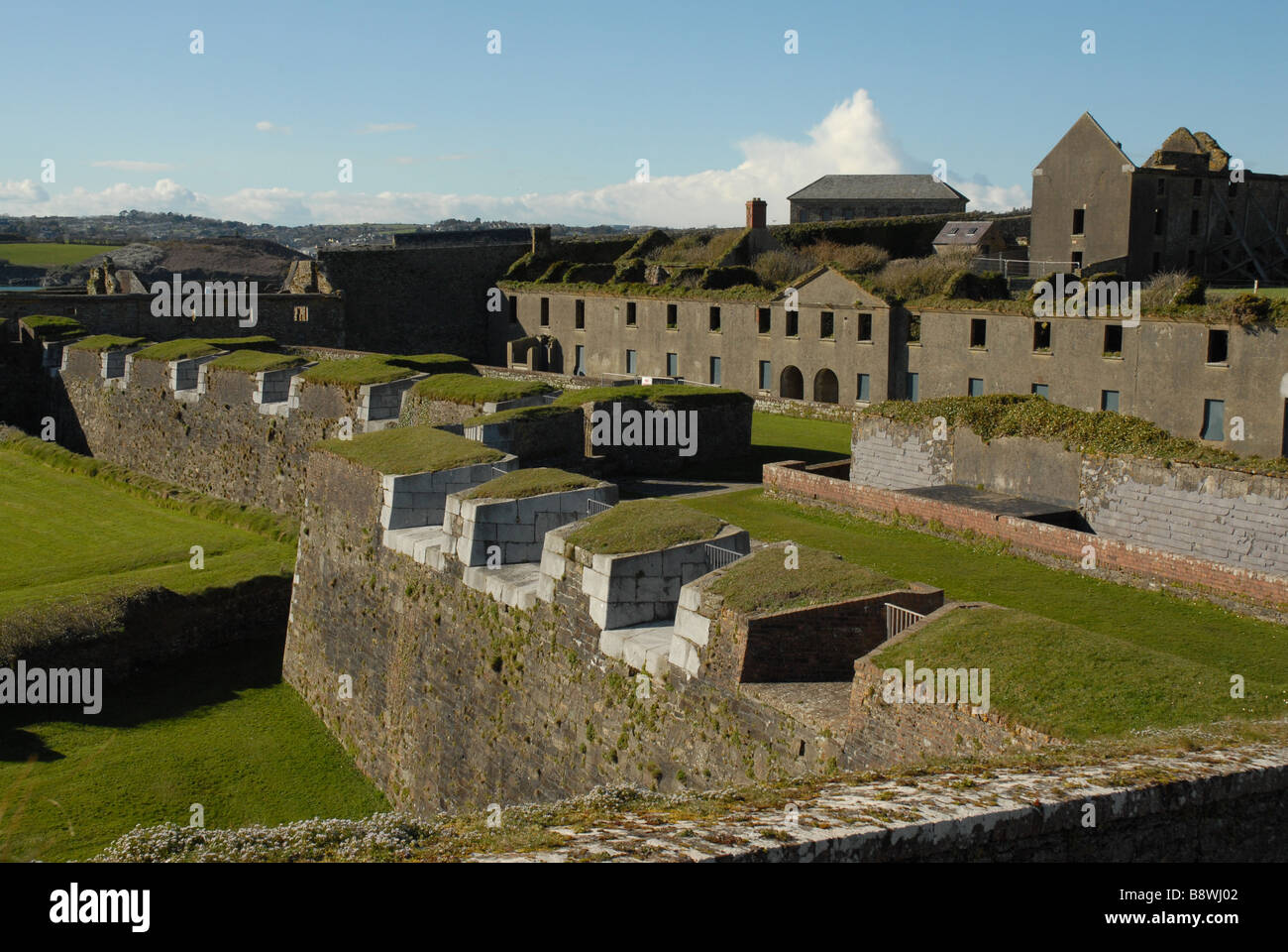 Fortification in CloghaneleeshFortification · 1295 yd
 Bridge in CloghaneleeshBridge · 1306 yd
 LisnagreeArchaeological place · 1379 yd
 Pierce's IslandIslet · 2.4 mi
 St. Dahalins Church (in ruins)Church · 2.5 mi
 Our Lady's Holy WellSpring · 3.4 mi
 Maulin MountainMountain / peak · 3.5 mi
 Triskbeg MountainMountain / peak · 4.3 mi
 Clashmealcon CavesCave · 4.3 mi