What is recorded here
No surface evidence remains of any archaeological site in area marked on OS 6-inch map. Natural hollow may show up on aerial photo as an enclosure (GSI N 328/9).
The above description is derived from the published 'Archaeological Inventory of County Offaly' (Dublin: Stationery Office, 1997). In certain instances the entries have been revised and updated in the light of recent research.
Date of upload: 23 May 2011
The monument record does not grant public access. Check the route and ask the landowner before entering private land.
- What survives
- Recorded monument
Places near here
 OutlinedCastle, unclassified · 760 yd
 Church (Site of)Church · 1071 yd
 Enclosure in Glebe (garrycastle By., Doon Ed)Enclosure · 1171 yd
 Bawn in Lackagh MoreBawn · 1189 yd
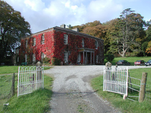 The Dooncountry house · 1.1 mi
 RoadRoad, class 3 togher · 2.0 mi
 Endrim HillMountain / peak · 2.5 mi
 European ashEuropean ash · 2.6 mi
 Ballylin Bog BoardwalkHeritage attraction · 3.5 mi
 Saint Reaghan's WellSpring · 3.9 mi
 Long IslandIsland · 5.5 mi
 Cocta HillMountain / peak · 5.6 mi