What is recorded here
In grassland. Cropmark of circular-shaped area (approx. diam. 26m) defined by a low bank visible on OSi orthoimage taken 2005-12. Faint outline of earthwork visible on Digital Globe aerial imagery taken 2011-13.
Compiled by: Caimin O’Brien
Date of upload: 23 November 2020
The monument record does not grant public access. Check the route and ask the landowner before entering private land.
- What survives
- Recorded monument
Places near here
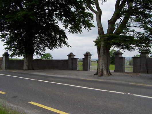 Rock Viewdemesne walls/gates/railings · 827 yd
 Enclosure in FarranamanaghEnclosure · 1512 yd
 Field system in CastlelakeField system · 1625 yd
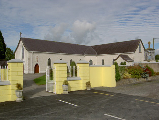 Catholic Church of the Blessed Sacramentchurch/chapel · 1712 yd
 Ballynahinch Castle (in ruins)Castle, tower house · 1758 yd
 Castle in ruinsCastle, tower house · 1.2 mi
 Athassel PrioryHeritage attraction · 2.1 mi
 Hore AbbeyHeritage attraction · 2.8 mi
 Dundrum Woods (Marl Bog)Forest · 5.3 mi
 Maudemount BogWood · 5.9 mi
 I.R.A. 3rd. Tipperary Brigade MemorialMemorial · 8.0 mi
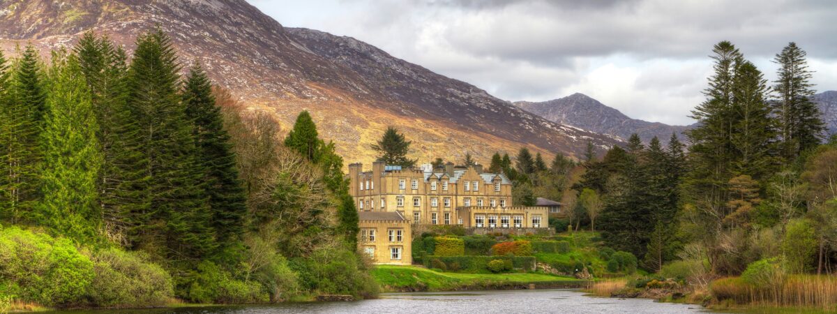 Ballynahinch SeatHouse, indeterminate date · 1.0 mi