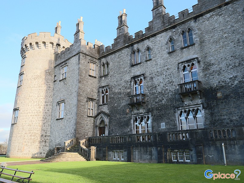
What is recorded here
Indicated on the 1st (1839) and the 1947 revision of the OS 6-inch map as a circular area (diam. c. 24m)enclosed by a berm and outer bank (total diam. c. 60m). Overgrown with trees and scrub. A field boundary, which is also a townland boundary, runs N-S immediately W of the enclosure and also runs roughly NE-SW immediately S-SE of the enclosure. A stream is indicated on the 1st ed. OS 6-inch map running along the N-S boundary.
Compiled by: Jean Farrelly
Date of upload: 31 May 2021
A local fairy fort (ringfort/rath); wider significance not recorded.
The monument record does not grant public access. Check the route and ask the landowner before entering private land.
- What survives
- Recorded monument
Places near here
 Millennium WoodWood · 762 yd
 Holy well in Castleinch OR InchyolaghanHoly well · 940 yd
 Castle (in ruins)Castle, unclassified · 1056 yd
 Church in Castleinch OR InchyolaghanChurch · 1133 yd
 Grave YardGraveyard · 1136 yd
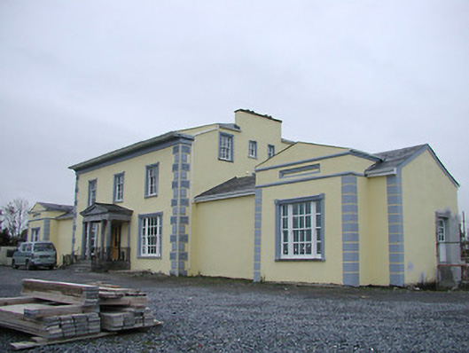 Tinnypark Househouse · 1.2 mi
 Richie DelaneyMemorial · 1.2 mi
 The N76 Callan Road Realignment SchemeMemorial · 1.3 mi
 CastleCastle, unclassified · 1.5 mi
 Saint Brigid's WellSpring · 1.9 mi
 HawthornHawthorn · 2.1 mi
 River LifeVisitor information · 2.6 mi
Other information
Photo: Credit not shown in the picture search · Rights wording not checked; contact us if this picture should be removed