What is recorded here
On flat ground in gently undulating terrain, under grass. Large area (diam. 88m N-S; 94.6m E-W) enclosed by earthen bank (Wth 2.9m crest, 5.2m; H above int. 0.28m; H above fosse 1.46m); fosse (Wth 2.8m) and outer bank (Wth 4.9m crest, 8.7m base; H above fosse 3.05; H above ext. 1.4m). Outer bank is surmounted by scrub. Interior used as small field. NW quadrant is badly poached and has three feeding troughs, all upturned at time of visit and bank levelled. Massive outer bank in E quadrant, round-topped, external face is heavily overgrown. No visible external fosse, though grass growth is more lush at base of E bank. Internal bank is very low, only evident from E-SE and in SE, elsewhere edge is defined by scarp (Wth 5m; H 0.6m), fosse (Wth 7.6m) and outer bank (Wth 3.1m crest; 8.3m base; int. above fosse 1.62m; H above ext. 1m), except in NW quadrant where outer bank, fosse and inner bank have been levelled. S quadrant fosse is flat-bottomed (Wth 4m). NW quadrant has stone walling on internal face of outer bank, three courses exposed, smaller stonework at base course. Bank and fosse in W quadrant is depicted as levelled on 2nd (1901-05 ed. OS 6-inch map). Possibly location of entrance as there is no other break in defences.
Compiled by: Jean Farrelly
Date of upload: 26 August 2011
The monument record does not grant public access. Check the route and ask the landowner before entering private land.
- What survives
- Recorded monument
Places near here
 Bawn in CastlecoyneBawn · 368 yd
 Mortlestown Church (in ruins)Church · 754 yd
 Short Castle (in ruins)Castle, tower house · 816 yd
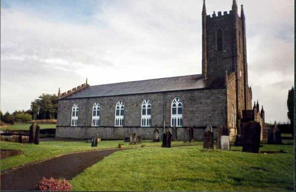 Ballylegan Church (in ruins)Church · 1418 yd
 Enclosure in Knockagh (caher Par.)Enclosure · 1634 yd
 RathardFairy fort / earthen ringfort · 1756 yd
 Caher AbbeyHeritage attraction · 2.9 mi
 Siege of Cahir Castlesiege · 3.0 miCahir CastleHeritage attraction · 3.0 mi
 European YewEuropean Yew · 3.7 mi
 Cottagehill WoodForest · 3.8 mi
 Woodcock HillMountain / peak · 5.0 mi