What is recorded here
In tillage. A curvilinear enclosure (diam. c. 47m), defined by a fosse which is visible as a cropmark on satellite imagery (OSI Ortho satellite imagery, 2004-2006). A field boundary, indicated on the 1st ed. OS 6-inch map, ran NW-SE across the S sector of the enclosure but has since been levelled. A concentric enclosure, also visible as a cropmark, is located c. 180m to the SW.
See attached imagery:
KK031-105----_01 Apple maps satellite imagery
Compiled by: Jean Farrelly
Date of upload: 14 June 2023
The monument record does not grant public access. Check the route and ask the landowner before entering private land.
- What survives
- Recorded monument
Places near here
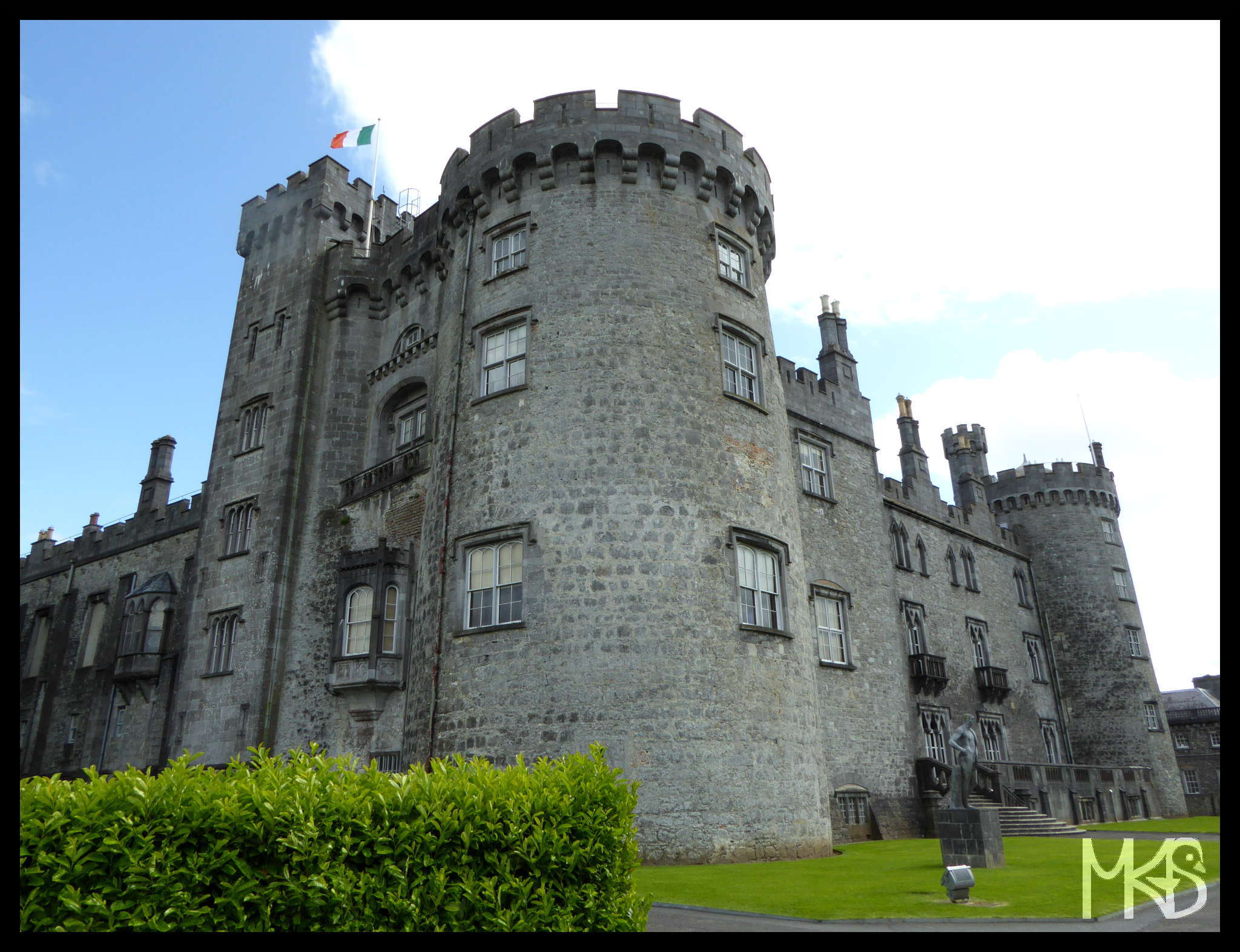 CastleCastle, unclassified · 610 yd
 Castle ColumbCastle, tower house · 730 yd
 Church in CastlecolumbChurch · 807 yd
 Chapel in CastlecolumbChapel · 819 yd
 Enclosure in Carrigeen (knocktopher By., Knocktopher Ed)Enclosure · 1335 yd
 Enclosure in DanesrathEnclosure · 1385 yd
 Turkey OakTurkey Oak · 1.0 mi
 Graveyard in DerrynahinchGraveyard · 1.5 mi
 Church (in Ruins), GraveyardChurch · 1.9 mi
 Holy WellSpring · 2.5 mi
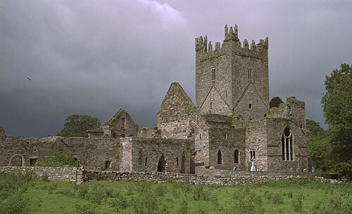 Jerpoint AbbeyHeritage attraction · 2.6 mi
 Pedunculate OakPedunculate Oak · 2.6 mi