
What is recorded here
Five metres north of a Galway ringfort, a low earthen bank still outlines a cramped rectangular space, perhaps a pen, store or working yard for the rath below. It is the kind of place where people moved heavy things, kept live things or hid tools from rain. The earth has taken most of the shape, but the boundary remains large enough to walk inside and small enough to feel owned.
Some 5m N of a ringfort (GA099-055----). Poorly preserved subrectangular enclosure (N-S 20m, E-W 15m) defined by a low earthen bank. Possibly associated with the adjacent rath.
The above description is derived from the published 'Archaeological Inventory of County Galway Vol. II - North Galway'. Compiled by Olive Alcock, Kathy de hÓra and Paul Gosling (Dublin: Stationery Office, 1999).
Date of upload: 05 August 2010
The monument record does not grant public access. Check the route and ask the landowner before entering private land.
- What survives
- Recorded monument
Places near here
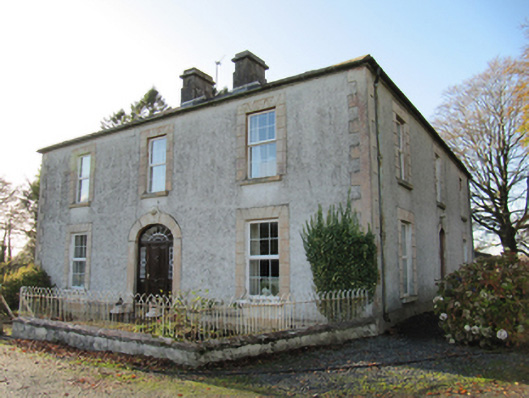 Cartron Househouse · 526 yd
 Quarry in BallyterrimQuarry · 848 yd
 LisnafairyFairy fort / ringfort · 1337 yd
 Loughunbrean FortFairy fort / earthen ringfort · 1428 yd
 Bawn in Cooltymurraghy (clonmacnowen By.)Bawn · 1723 yd
 Park CastleCastle, hall-house · 1.3 mi
 The bloody HollowHeritage attraction · 2.0 mi
 Battle of AughrimMajor battlefield · 2.2 mi
 European BeechEuropean Beech · 2.3 mi
 European YewEuropean Yew · 2.4 mi
 Urraghry HillMountain / peak · 2.6 mi
 Battle of Aughrim Interpretative CentreMuseum · 2.8 mi
Other information
Photo: Credit not shown in the picture search · Rights wording not checked; contact us if this picture should be removed