
What is recorded here
The faint cropmark of a D-shaped enclosure (dims c. 33m E-W; c. 20m N-S) defined by a single fosse W-N-E is only visible on Apple Maps, which utilises a survey conducted by Blue Sky International during June 2018. The perimeter appears to be entirely missing E-S-W but is overlaid by N-S and E-W field drains. It was reported separately by Anthony Murphy and Matthew Mullen-Reynolds.
See the attached enhanced view from Apple Maps
Compiled by: Michael Moore
Date of upload: 21 January 2020
The monument record does not grant public access. Check the route and ask the landowner before entering private land.
- What survives
- Recorded monument
Places near here
 Church in BetaghstownChurch · 213 yd
 Man-made underground passage in BetaghstownMan-made underground passage · 307 yd
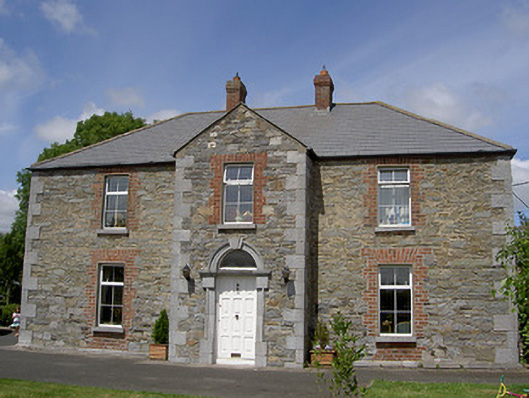 Garveystown Houseworker's house · 760 yd
 Fulacht fia in Carstown (ferrard By; Termonfecin Par.)Fulacht fia · 976 yd
 CarstownCastle, unclassified · 1692 yd
 Castle (Site of)Castle, tower house · 1698 yd
 Beaulieu House and GardensHeritage attraction · 1.9 mi
 Newgrange Business ParkMemorial · 4.9 mi
 Yellow IslandIslet · 5.0 mi
 MonasterboiceEarly monastic site · 5.2 mi
 Grove IslandIslet · 5.2 mi
 BarabonaMountain / peak · 6.0 mi
Other information
Photo: Credit not shown in the picture search · Rights wording not checked; contact us if this picture should be removed