What is recorded here
Situated on a gentle E-facing slope. The cropmark of a rectangular enclosure (dims c. 30m N-S; c. 25m E-W) defined by straight sections of fosses or ditches is visible only on Digital Globe (2011-13). It was first reported by Jean Charles Caillére.
See the attached enhanced view from Digital Globe (2011-13)
Compiled by: Michael Moore
Date of upload: 21 January 2022
The monument record does not grant public access. Check the route and ask the landowner before entering private land.
- What survives
- Recorded monument
Places near here
 Enclosure in Carstown (ferrard By; Ballymakenny Par.)Enclosure · 85 yd
 Field system in Carstown (ferrard By; Ballymakenny Par.)Field system · 112 yd
 CarstownCastle, unclassified · 574 yd
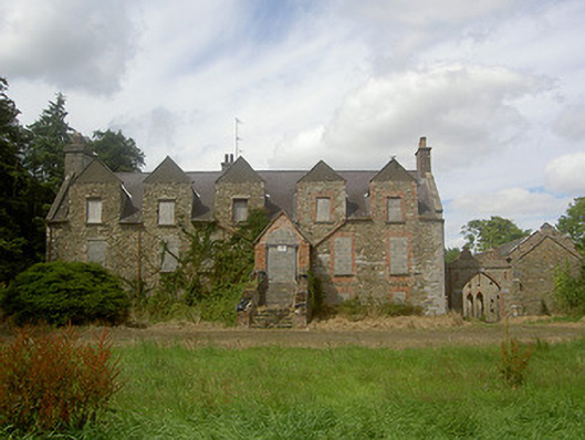 Carstown Housecountry house · 594 yd
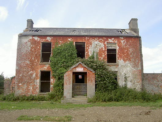 Belviewhouse · 783 yd
 CastleCastle, tower house · 1661 yd
 MonasterboiceEarly monastic site · 3.9 mi
 Muiredach's High CrossHeritage attraction · 3.9 mi
 Yellow IslandIslet · 4.2 mi
 Grove IslandIslet · 4.4 mi
 Newgrange Business ParkMemorial · 4.4 mi
 BarabonaMountain / peak · 4.7 mi