What is recorded here
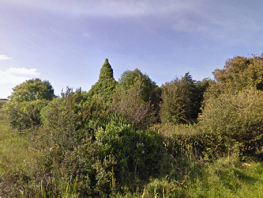
In average pasture, located on top of a ridge, with excellent views in all directions.
An irregular oblong area (c. 12-15m N-S; c. 24m E-W) defined by a low, sod-covered stony bank (Wth c. 1.5m at NE). It is conjoined at S with a larger enclosure (MA015-077001-) and at W it is bordered by a field fence/townland boundary that appears to partly respect the curve of the enclosure. An ephemeral NW-SE rise partitions the slightly raised interior into 2 roughly equal spaces, with the area (c. 15m N–S, c. 12.5m E–W) to W best defined, and the E half disturbed and irregular in appearance. The somewhat irregular shape and poor preservation makes interpretation of this possible enclosure, and its relationship to the adjoining larger enclosure (MA015-077001-), difficult; it could, for instance, represent the remains of a building or structure rather than an enclosure.
Compiled by: Jane O’Shaughnessy
Date of upload: 13 November 2018
The monument record does not grant public access. Check the route and ask the landowner before entering private land.
- What survives
- Recorded monument
Places near here
 Enclosure in CarrowtrasnaEnclosure · 17 yd
 TobernacreevaHoly well · 583 yd
 farm housefarm house · 1685 yd
 TrabaunBeach / strand · 1701 yd
 CastlenageehaCastle, unclassified · 1.1 mi
 Lackan Church (Lackan)church/chapel · 1.2 mi
 CastleCastle, unclassified · 1.2 mi
 French Landing 1798Memorial · 1.3 mi
 Rinnaun PointHeadland · 3.1 mi
 Green IslandIslet · 3.5 mi
 Battle of Killalabattle · 3.7 mi
 Lisheen Grave YardArchaeological place · 4.4 mi