What is recorded here
Carrowneden held two circular rath sites on a narrow ridge, large enough for domestic life but small enough to overlook. The main enclosure measured thirty-five metres when last drawn, surrounded by a fosse that caught rain and marked a boundary between inside and out. Both rath structures are levelled now, reduced to faint traces in pasture soil, yet the ridge still lifts the eye north-east across open country. What was lost is not forgotten; the shape remains visible in the way the land resists forgetting.
In pasture, located on level ground on the top of a NW–SE ridge. The spine of the ridge restricts views to SE but there are extensive views to N–NE.
Shown on the 1916 OS 6-inch map as a circular area (diam. c. 35m) enclosed by a fosse, this rath has been levelled. The ephemeral outline of a flat circular area (diam. 30m), truncated on its SE edge by a property fence, can still be traced at ground level. Another rath (MA102-040----), also levelled, lies 8m to NNE.
Compiled by: Jane O’Shaughnessy
Date of upload: 27 September 2022
The monument record does not grant public access. Check the route and ask the landowner before entering private land.
- What survives
- Recorded monument
Places near here
 CastleCastle, unclassified · 807 yd
 St Bridgets WellsHoly well · 1023 yd
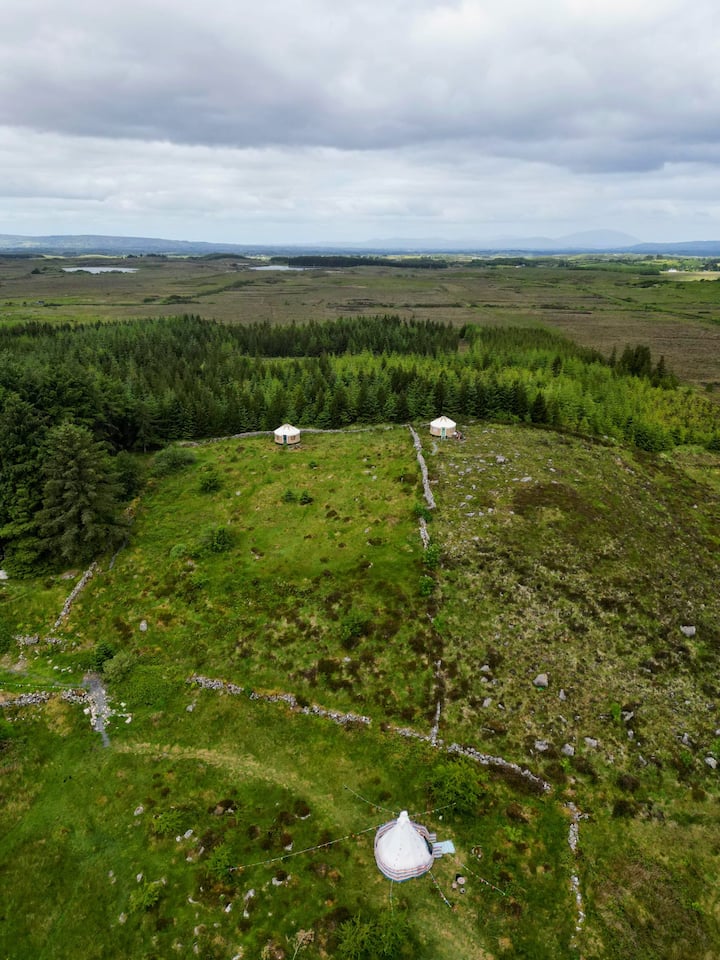 Enclosure in KilvineEnclosure · 1.5 mi
 Saint Mary's Catholic Churchchurch/chapel · 2.0 mi
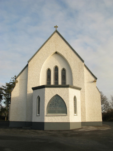 Catholic Church of Saint Theresa of the Little Flowerchurch/chapel · 2.1 mi
 Castlekeel (in ruins)Castle, unclassified · 5.5 mi
 Oak WoodForest · 5.7 mi
 Geoffrey's WoodForest · 6.6 mi
 Mass RockNamed rock · 13 mi
 IndicatedEnclosure · 1.6 mi
 Conors FortFairy fort / earthen ringfort · 1.7 mi
 Esker FortEnclosure · 1.7 mi