What is recorded here
At the SE corner of a field in pasture. Hachured on the 1916 OS 6-inch map. A circular area (diam. c. 20m) with a flat summit defined by a scarp.
Compiled by: Mary Tunney
Date of upload: 19 November 2025
The monument record does not grant public access. Check the route and ask the landowner before entering private land.
- What survives
- Recorded monument
Places near here
 Site of Tullamore CastleCastle, unclassified · 251 yd
 Enclosure in Derreen (kilshanny Ed)Enclosure · 652 yd
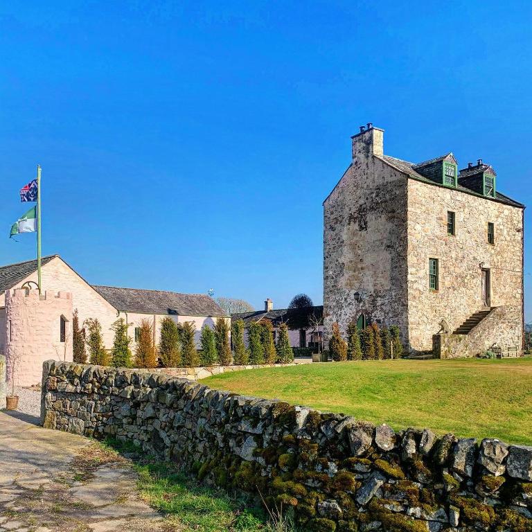 Ballaghboy FortArchaeological place · 857 yd
 Saint Augustine's Catholic Churchchurch/chapel · 1449 yd
 Kilshanny Church (in ruins)Religious house, Augustinian canons · 1.2 mi
 Kilmanahn GraveyardRuins · 2.1 mi
 Smithstown Castle (in ruins)Castle, tower house · 2.3 mi
 Famine MemorialMemorial · 2.5 mi
 Lahinch BeachBeach / strand · 3.0 mi
 Doolin Road SinkCave · 3.7 mi
 Fisherstreet PotCave · 3.8 mi
 Doolin Cliff WalkWalking route · 4.0 mi