
What is recorded here
This was listed in the SMR (1989) and RMP (1995) as 'Potential site - aerial photo'. The source of this record is a copy of an OS aerial photo (OS I, 3309-10: SMR file) on which a faint circular feature can be distinguished. This feature is not visible on more recent aerial images (OSi; Bing Maps; Google Earth) and its precise nature is uncertain. The interpretation given is purely tentative and a proper elucidation of the monument must await further investigation.
Compiled by: Paul Walsh
Date of upload: 24 January 2014
The monument record does not grant public access. Check the route and ask the landowner before entering private land.
- What survives
- Recorded monument
Places near here
 ListoghilPassage tomb · 115 yd
 Carrowmore 57Archaeological place · 179 yd
 Carrowmore Visitors CentreVisitor information · 327 yd
 Carrowmore Megalithic CemeteryHeritage attraction · 382 yd
 Kiln in BreeogeKiln · 1.3 mi
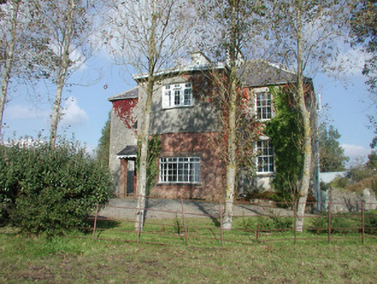 Breeoge Househouse · 1.4 mi
 CarrigeenfaddaIslet · 2.1 mi
 St. John's CathedralMemorial · 2.2 mi
 Discover IrelandVisitor information · 2.3 mi
 CastleCastle, Anglo-Norman masonry castle · 2.4 mi
 Famine MemorialMonument · 2.4 mi
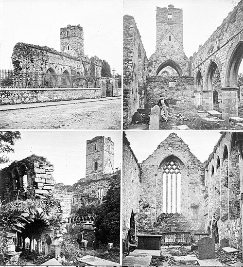 Sligo AbbeyMuseum · 2.4 mi
Other information
Photo: Credit not shown in the picture search · Rights wording not checked; contact us if this picture should be removed