
What is recorded here
Half a metre deep and barely wider than a child’s outstretched arms, the narrow fosse curved beneath the later rath like a forgotten breath. People may have stood inside that shallow circle to mark seasons, offer food or simply belong somewhere before stone and ceremony arrived. The road took only part of it in 2002, leaving the southern arc buried beneath grass and memory. What is missing is not emptiness; it is an invitation to imagine the hands, voices and reasons that shaped a place so small it could fit inside a life.
Located on a low natural rise or hillock with a southerly aspect, underlying a rath (MA038-004----). In 2002-3 an excavation (02E0598) was carried out on the northern half of the rath in advance of road construction (Zajac 2011). It revealed evidence of an enclosure defined by a narrow fosse, which predated the construction of the rath. The fosse (Wth 0.6-1m at top; D 0.4-0.8m) underlay the later rath bank, and was traced in an arc W–NE. It varied in profile from U-shaped to V-shaped, and appeared too shallow and insubstantial to be defensive in nature. It is thought to be pre-historic in date, most likely associated with a Neolithic habitation site (MA038-004001-), which underlay the rath. The enclosed space may even have had a ceremonial or ritual dimension (ibid. 338).
Part of the enclosure, extended beyond the road take and remains unexcavated, underlying the S side of the rath. (Zajac 2011).
Compiled by: Jane O'Shaughnessy
Date of upload: 23 July 2019
The monument record does not grant public access. Check the route and ask the landowner before entering private land.
- What survives
- Recorded monument
Places near here
 RathbaunFairy fort / earthen ringfort · 828 yd
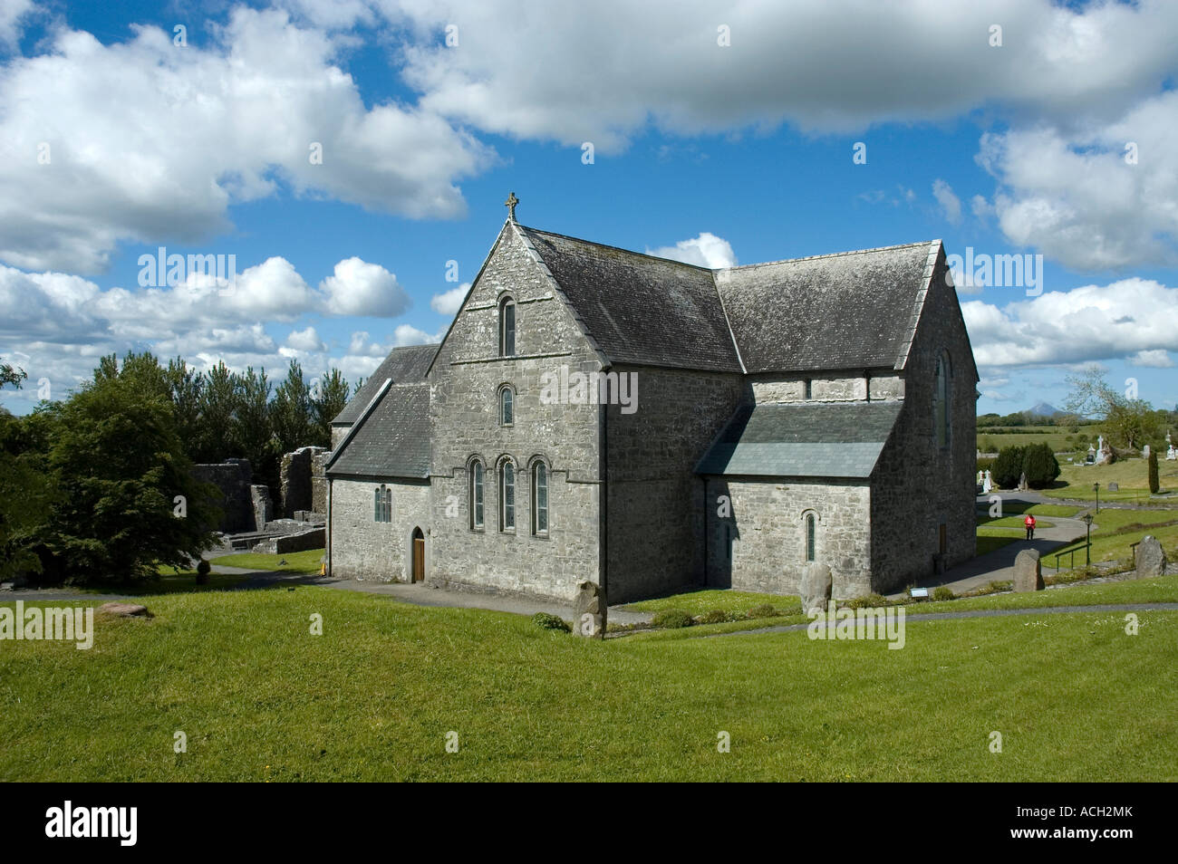 Enclosure in BallinlabaunEnclosure · 1133 yd
 Grave of the KingsArchaeological place · 1.4 mi
 Enaghmore Castle (in Ruins)Castle, unclassified · 1.4 mi
 RathmoreCastle, motte · 1.8 mi
 Catholic Church of Our Ladychurch/chapel · 2.0 mi
 Church in ruinsChurch · 2.0 mi
 Castle IslandIslet · 4.0 mi
 Roe IslandIslet · 4.4 mi
 Titanic Memorial ParkMemorial · 5.0 mi
 KnockaffertaghMountain / peak · 8.1 mi
 BirreencorraghMountain / peak · 8.7 mi
Other information
Photo: Credit not shown in the picture search · Rights wording not checked; contact us if this picture should be removed