What is recorded here
An Office of Public Works copy of the 1838 OS 6-inch map bears the following hand written annotation for Carrowkeel North townland: 'Fort in this Td.?' but a precise location is not indicated. As yet no evidence for a possible enclosure or ringfort has been found in the townland.
Compiled by: Jane O'Shaughnessy
Date of upload: 24 February 2023
The monument record does not grant public access. Check the route and ask the landowner before entering private land.
- What survives
- Recorded monument
Places near here
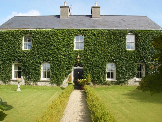 Gardenfield Housefarm house · 1548 yd
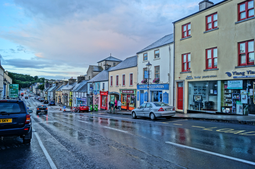 IndicatedFairy fort / earthen ringfort · 1.1 mi
 Enclosure in ShantallowEnclosure · 1.3 mi
 Castle (ruin)Castle, unclassified · 1.3 mi
 Chapel (ruin)Church · 1.7 mi
 Geoffrey's WoodForest · 2.9 mi
 CastlemagarretCastle · 3.2 mi
 Oak WoodForest · 3.8 mi
 Land of the GiantsHeritage attraction · 4.2 mi
 Mass RockNamed rock · 11 mi
 Gibbs IslandsIslet · 12 mi
 Easter IslandIslet · 12 mi