What is recorded here
Located on a break in slope on an E face in pasture with views onto the Ox Mountains. Not marked on the 1st edition of the OS 6-inch map. Depicted as a hachured arc extending from NE-S-SW on the latest edition. There aare no visible surface remains.
Compiled by : Geraldine Stout
Date of upload: 16 August 2013
The monument record does not grant public access. Check the route and ask the landowner before entering private land.
- What survives
- Recorded monument
Places near here
 Enclosure in CarrickhenryEnclosure · 647 yd
 IndicatedEnclosure · 862 yd
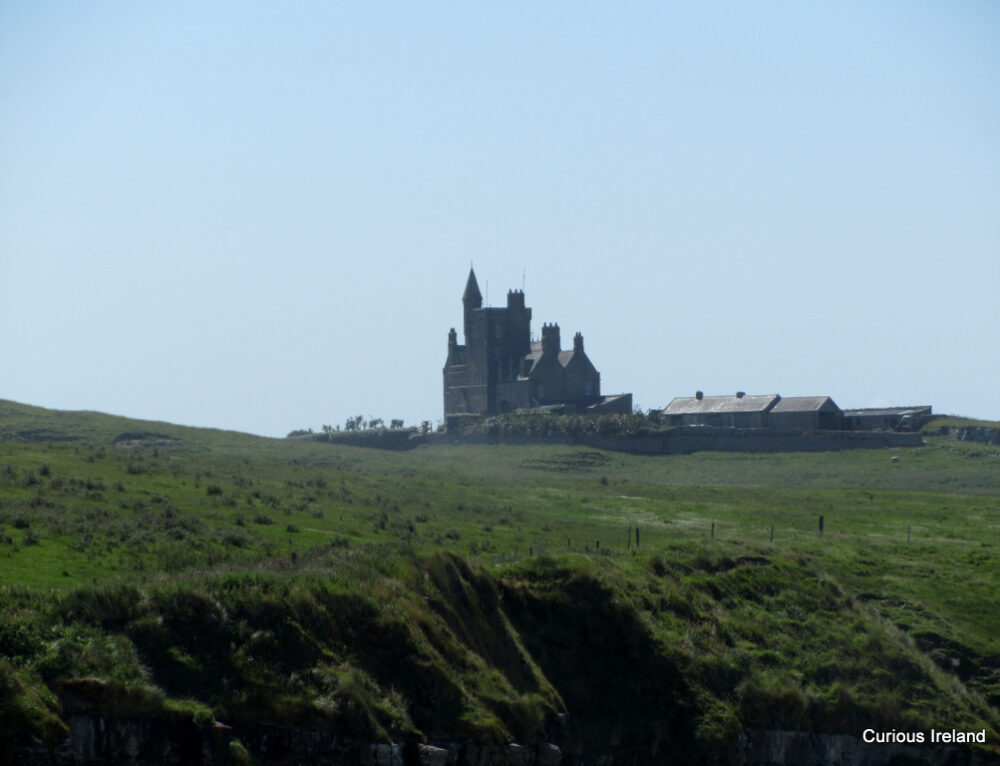 CastleCastle, unclassified · 1400 yd
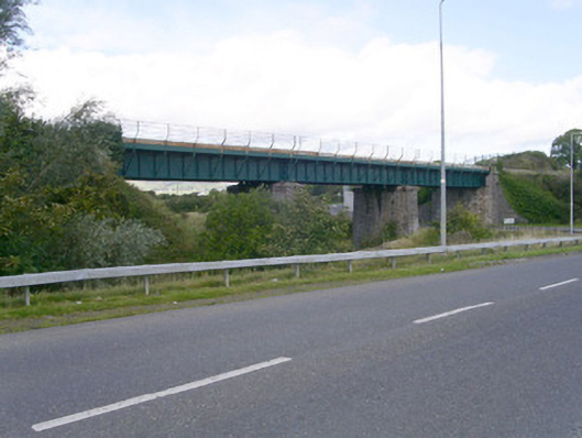 bridgebridge · 1481 yd
 Ballydrehid Br.Bridge · 1497 yd
 Carrowmore Megalithic CemeteryHeritage attraction · 1.6 mi
 Carrowmore Visitors CentreVisitor information · 1.6 mi
 Union RockMountain / peak · 1.9 mi
 Tobernalt Holy WellSpring · 2.1 mi
 Aghamore BayBay · 2.3 mi
 Green IslandIslet · 2.3 mi
 Bernard's IslandIslet · 2.6 mi