What is recorded here
Located on a SE-facing slope, with the round tower of Oran (RO034-080003-) c. 200m to the SSW. Geophysical survey (11R0074) of possible routes for a re-directed section of the N60 at Oran identified a number of possible enclosures defined by ditches (Gimson and Regan 2011). Archaeological testing (11E0247) disproved many of the anomalies, but a group of four features in Field 2 proved to be archaeological, and elements of the field system (RO034-081003-) may extended into the area. This enclosure (3) is largely outside the test corridor but its extent is identified in the geophysical survey. It is a subcircular or subrectangular area (dims c. 50m x c. 50m) defined by a shallow ditch or slot trench (Wth 0.3m; max. D 0.25m) and it may be part of the field system. (O’Hara 2011, 5-6)
Compiled by: Michael Moore
Date of upload: 3 December, 2014
The monument record does not grant public access. Check the route and ask the landowner before entering private land.
- What survives
- Recorded monument
Places near here
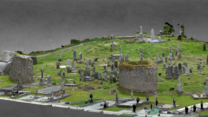 Enclosure in CarroweighterEnclosure · 194 yd
 IndicatedRound tower · 262 yd
 HawthornHawthorn · 335 yd
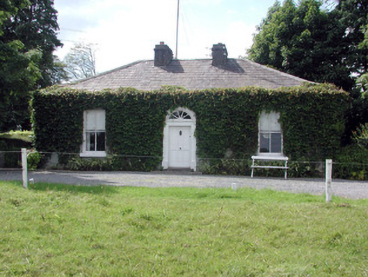 Ballydooley Lodgegate lodge · 1060 yd
 Old KilnKiln · 1199 yd
_-_geograph.org.uk_-_1952978.jpg?width=1280) Bawn in Glinsk (ballymoe By.)Bawn · 4.2 mi
Bawn in Glinsk (ballymoe By.)Bawn · 4.2 mi European ashEuropean ash · 4.5 mi
 CastleCastle, Anglo-Norman masonry castle · 4.5 mi
 Site of Killomaine Grave YardArchaeological place · 4.7 mi
 Roscommon CastleCastle · 6.5 mi
 Sally IslandIslet · 7.2 mi
 Mount MaryMountain / peak · 7.6 mi