What is recorded here
Situated in pasture on a rise in undulating landscape. Listed as 'Enclosure' in the SMR (1992) and the RMP (1996). Hachured as a circular enclosure (diam. c. 30m) on the 1842 ed. of the OS 6-inch map. It is not visible at ground level.
Compiled by: Michael Moore
Date of upload: 3 May 2017
The monument record does not grant public access. Check the route and ask the landowner before entering private land.
- What survives
- Recorded monument
Places near here
 IndicatedFairy fort / stone ringfort · 217 yd
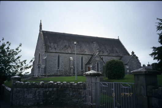 Catholic Church of the Immaculate Conceptionchurch/chapel · 1002 yd
 Enclosure in Derry (bunratty Upper By.)Enclosure · 1057 yd
 Kilraghtis ChurchChurch · 1.1 mi
 CastleCastle, ringwork · 1.4 mi
 Ardcarney WoodWood · 1.7 mi
 Dromore WoodWood · 2.0 mi
 Dromore CastleCastle · 2.2 mi
 Mulkere MemorialMemorial · 3.7 mi
 Ennis AbbeyMuseum · 3.7 mi
 Clare MuseumMuseum · 3.8 mi
 Battle of TullyodeaBattlefield · 3.9 mi