What is recorded here
Situated on a low rise in gently undulating pasture. Not marked on the 1837 edition of the OS 6-inch map. Two enclosures. Adjoining the E part of the first (SL019-095001-) is the second enclosure. This comprises an almost D-shaped area (dims. 20.5m N-S; 17m E-W) with a more poorly preserved enclosing wall (Wth. 1.8m - 4m; int. H 0.2m) than that of the first enclosure. Extending NE-SW through the interior, slightly N of centre, is a low SE-facing scarp (H 0.55m). A poorly defined break (Wth. 1m) in the NE wall of the first enclosure and the NW of this enclosure, was probably the location of the entrance between the two.
Compiled by: Patrick F. O'Donovan
Date of upload: 19 January 2011
The monument record does not grant public access. Check the route and ask the landowner before entering private land.
- What survives
- Recorded monument
Places near here
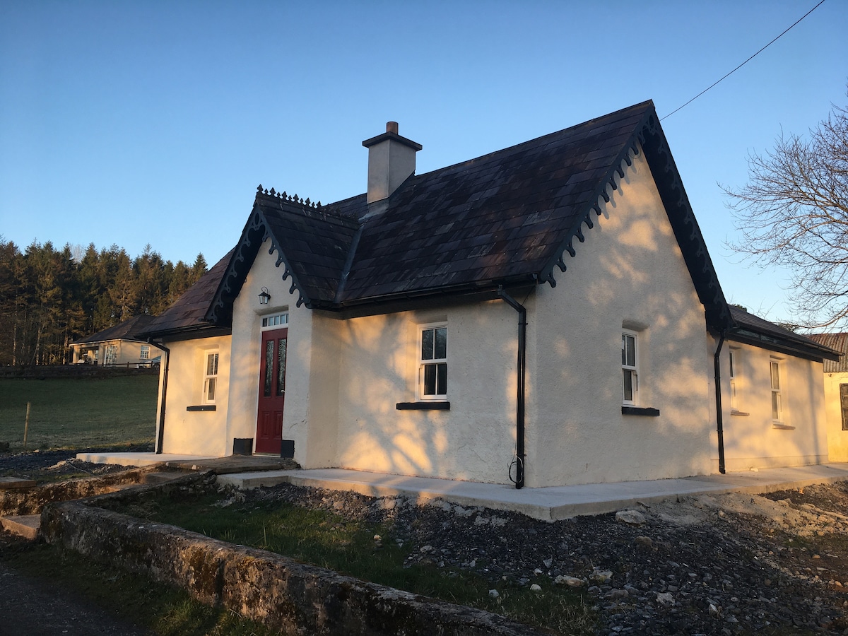 Enclosure in Bunnafedia,carrowconorEnclosure · 14 yd
 IndicatedFairy fort / earthen ringfort · 167 yd
 Giant's GraveArchaeological place · 1131 yd
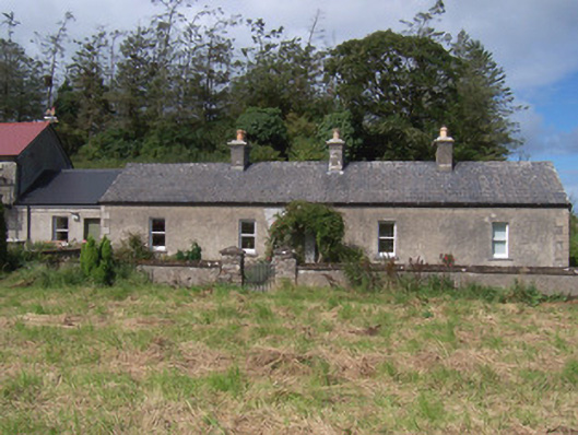 The Swallow Loftchurch/chapel · 1211 yd
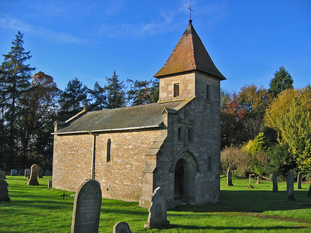 R. C. Chapel in ruinsChurch · 1238 yd
 Bawn in Longford DemesneBawn · 1411 yd
 Valley WoodForest · 1757 yd
 Pigeonpark WoodForest · 1.1 mi
 CastleCastle, ringwork · 1.5 mi
 Lahanacappul IslandIslet · 1.7 mi
 Ballinlig PointHeadland · 1.9 mi
 Portavaud PointHeadland · 2.0 mi