What is recorded here
Marked only on the OS 25-inch map as an oval hachured area (dims c. 30m NW-SE; c. 20m NE-SW) traversed by a N-S section of a lane. It is situated on a broad hill. There are no visible surface remains of any feature in rough pasture.
Compiled by: Michael Moore
Date of upload; 22 April, 2016
The monument record does not grant public access. Check the route and ask the landowner before entering private land.
- What survives
- Recorded monument
Places near here
 Kilcoosey National Schoolschool · 434 yd
 Enclosure in KilcoosyEnclosure · 1084 yd
 Enclosure in GortgarriganEnclosure · 1461 yd
 Green IslandIslet · 1477 yd
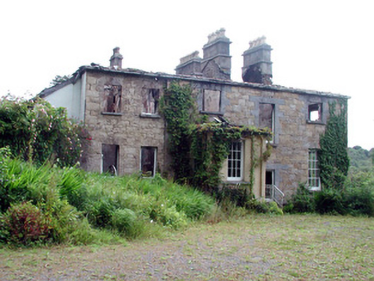 Drumlease Glebe Houserectory/glebe/vicarage/curate's house · 2.0 mi
 BenboMountain / peak · 2.2 mi
 Old HallCastle, hall-house · 2.9 mi
 Giants RockNamed rock · 3.3 mi
 Parke's CastleHeritage attraction · 3.5 mi
 CastleCastle, tower house · 3.5 mi
 Cullentra ForestForest · 3.9 mi
 The Giants GraveArchaeological place · 3.9 mi