What is recorded here
Carrigeencor is an 18m circular grass enclosure bounded by a drystone wall on a rock outcrop in County Leitrim. It appeared as a rectangular fort on an 1835 map and a subcircular area in 1943, suggesting its shape resisted easy measurement rather than disappearing. People may have gathered there to mark territory, shelter from rain or simply enjoy the rare flat grass above bare stone.
Depicted as a rectangular embanked enclosure (ext. dims c. 20m x c. 20m) described as a 'Fort' in gothic lettering on the 1835 ed. of the OS 6-inch, and as a subcircular area on the 1943 ed. It is situated on top of an overgrown area of rock outcrop. This is a circular grass-covered area (diam. c. 18m) defined by a drystone wall.
The above description is derived from 'The Archaeological Inventory of County Leitrim' compiled by Michael J. Moore (Dublin: Stationery Office, 2003). In certain instances the entries have been revised and updated in the light of recent research.
Date of revision: 22 April, 2016
The monument record does not grant public access. Check the route and ask the landowner before entering private land.
- What survives
- Recorded monument
Places near here
 Kilcoosey National Schoolschool · 592 yd
 Enclosure in KilcoosyEnclosure · 935 yd
 Green IslandIslet · 1378 yd
 Enclosure in GortgarriganEnclosure · 1614 yd
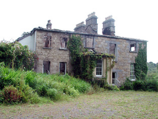 Drumlease Glebe Houserectory/glebe/vicarage/curate's house · 2.0 mi
 BenboMountain / peak · 2.3 mi
 Old HallCastle, hall-house · 2.9 mi
 Giants RockNamed rock · 3.4 mi
 Parke's CastleHeritage attraction · 3.4 mi
 CastleCastle, tower house · 3.4 mi
 Cullentra ForestForest · 3.8 mi
 The Giants GraveArchaeological place · 4.0 mi