What is recorded here
In tillage. An oval enclosure (dims. c. 35m NE-SW; c. 30m NW-SE), defined by a fosse which is visible as a cropmark on satellite imagery (Apple Maps), identified and reported by Jean-Charles Caillère. Another faint curvilinear enclosure (KK015-095----) is visible immediately to the N. This latter may be conjoined with, or could possibly pre-date, the former enclosure.
See attached imagery:
KK015-194----_01 Apple Maps satellite imagery
Compiled by: Jean Farrelly
Date of upload: 20 June 2023
The monument record does not grant public access. Check the route and ask the landowner before entering private land.
- What survives
- Recorded monument
Places near here
 Gleann Dick ForestForest · 582 yd
 Johnswell Ringfort (rath)Archaeological place · 697 yd
 IndicatedFairy fort / ringfort · 987 yd
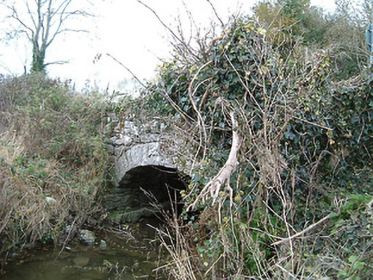 Kilkieran Bridgebridge · 1168 yd
 Saint John's Wellholy well · 1290 yd
 The CummerForest · 1297 yd
 Ballyfoyle Castle (in ruins)Castle, tower house · 1.8 mi
 CastleCastle, ringwork · 1.8 mi
 St. Mogarra’s WellSpring · 2.7 mi
 Edward BurkeMemorial · 3.9 mi
 KilkennyVisitor information · 4.2 mi
 Kilkenny County Council Car ParkVisitor information · 4.3 mi
Other information
Photo: Credit not shown in the picture search · Rights wording not checked; contact us if this picture should be removed