What is recorded here
Enclosure in Carrigeen East is a ruined rectangular boundary in flat Galway scrubland where a double row of large foundation blocks still marks the southwest corner. McCaffrey recorded it in 1952 as a possible stone fort, but the east and north sides have vanished beneath modern walls and blackthorn. The lost interior may have held a chapel, burial ground and megalithic structure, yet those claims now belong more to memory than visible stone. What remains is a ghost line in the field, wide enough to have excluded herds, people or gods.
In flat scrubland. Recorded by McCaffrey (1952, 10, no. 6, 81, 222-3, plate 3) who classified it as a rectangular 'stone fort (?)' (42.7m E-W; 26.5m N-S). Only the lower courses of the enclosure wall survived beneath a modern wall and most of the E and part of the N sides were destroyed. It was best preserved at SW where a double row of large 'foundation blocks' was visible. A laneway ran directly outside the wall along the W side and there was an entrance at the NW corner. The interior contained a 'chapel' (GA104-092003-), a children's burial ground (GA104-092001-) and a megalithic structure (GA104-092002-). Furthermore, 'two stone basins', possible bullaun stones (GA104-092005- and GA104-092006-), were also noted in the field to the S (not located). On inspection in June 1992 almost all of these features were
impenetrably overgrown with dense blackthorn and briar growth. The enclosing wall was similar to the surrounding field walls and no obvious older foundation line was visible at its base. The possible Man-made underground passage (GA104-092007-) noted by McCaffrey (ibid.) at the bottom of the laneway is in fact a lintelled field drain.
Compiled by: Galway Archaeological Survey, UCG
Date of upload: 29 January 2020
The monument record does not grant public access. Check the route and ask the landowner before entering private land.
- What survives
- Recorded monument
Places near here
 Chapel in Carrigeen EastChapel · 2 yd
 CahermoreFairy fort / stone ringfort · 484 yd
 CahershanbackyFairy fort / stone ringfort · 628 yd
 Site of Shanbally CastleCastle, unclassified · 1190 yd
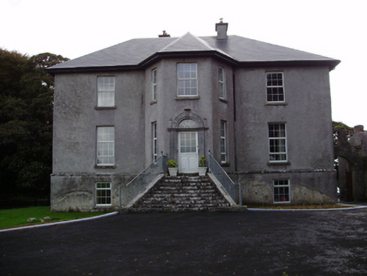 Aggard Housecountry house · 1218 yd
 Roo Castle (in ruins)Castle, tower house · 1.6 mi
 Kilcornan WoodWood · 3.7 mi
 Moyard WoodWood · 3.8 mi
 Mweenish PointHeadland · 8.5 mi
 Mulroney's IslandIslet · 8.8 mi
 CrossCross · 1453 yd
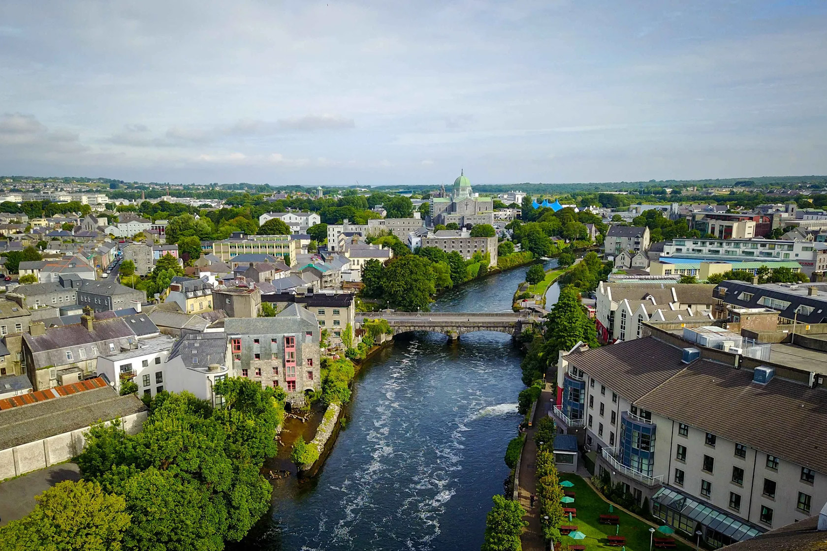 IndicatedQuarry · 1661 yd